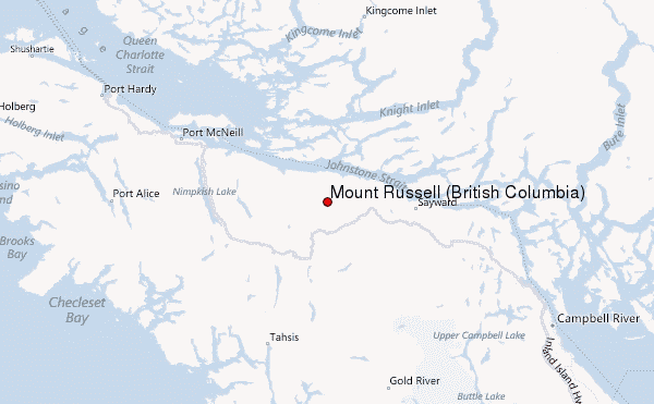
– Lat/Long: 50.38° N 126.36° W
 Mount Russell (British Columbia) – Climbing, Hiking & Mountaineering information
Mount Russell (British Columbia) – Climbing, Hiking & Mountaineering information
Mount Russell (British Columbia) mountain guide
- Elevation: 1742 m
- Difficulty:
- Best months to climb:
- Convenient center:
Mount Russell (British Columbia) Climbing NotesBe the first to submit your climbing note! Please submit any useful information about climbing Mount Russell (British Columbia) that may be useful to other climbers. Consider things such as access and accommodation at the base of Mount Russell (British Columbia), as well as the logistics of climbing to the summit. |

Select Mount Russell (British Columbia) Location Map Detail:
| Select a
mountain summit from the menu |
||
|
Select a Mountain Summit
|
||
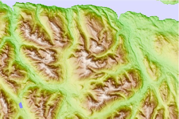
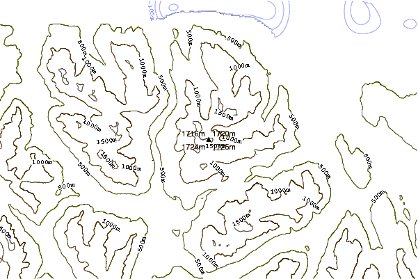
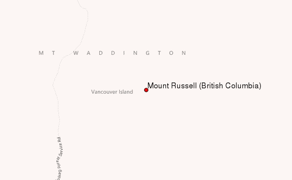
Use this relief map to navigate to mountain peaks in the area of Mount Russell (British Columbia).
10 other mountain peaks closest to Mount Russell (British Columbia):
| 1. | Mount Palmerston (1765 m) | 3.1 km |
| 2. | Mount Derby (1658 m) | 13.8 km |
| 3. | Mount Elliott (British Columbia) (1557 m) | 14.0 km |
| 4. | Jagged Mountain (1708 m) | 14.1 km |
| 5. | Hapush Mountain (1761 m) | 15.9 km |
| 6. | Mount Cain (1819 m) | 17.6 km |
| 7. | Mount Romeo (1663 m) | 17.8 km |
| 8. | Eden Mountain (1641 m) | 18.5 km |
| 9. | Mount Ashwood (Bonanza Range) (1761 m) | 19.0 km |
| 10. | Mount Abel (British Columbia) (1822 m) | 19.5 km |
 Like us
 Follow us
