– Lat/Long: 36.66° N 81.54° W
 Mount Rogers – Climbing, Hiking & Mountaineering information

Mount Rogers guide
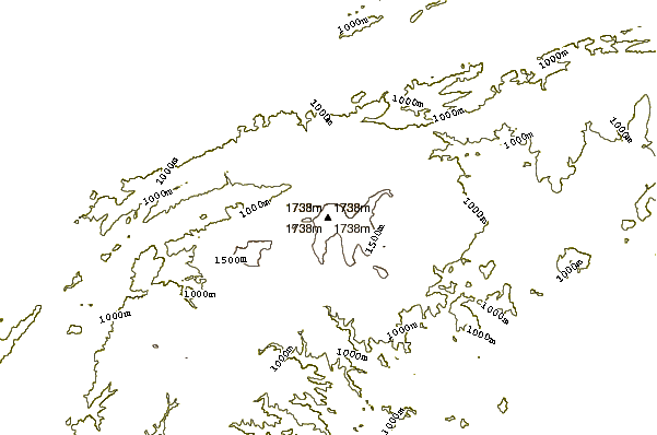
- Elevation: 1746 m
- Difficulty: Walk up
- Best months to climb: April, May, June, July, August, September
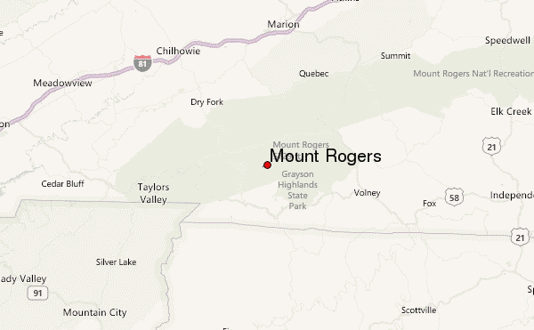
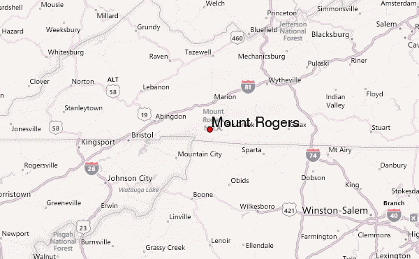
- Convenient center: Marion, VA
Mount Rogers Climbing NotesBe the first to submit your climbing note! Please submit any useful information about climbing Mount Rogers that may be useful to other climbers. Consider things such as access and accommodation at the base of Mount Rogers, as well as the logistics of climbing to the summit. |
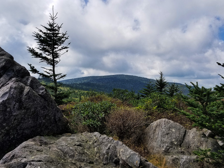
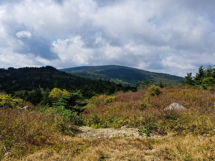
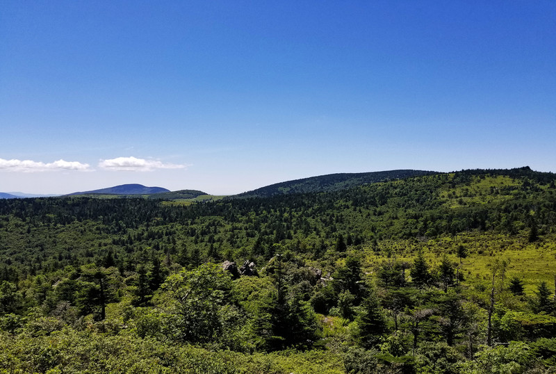
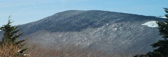
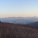
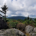
Latest Gallery Images for Mount Rogers
| Select a
mountain summit from the menu |
||
|
Select a Mountain Summit
|
||
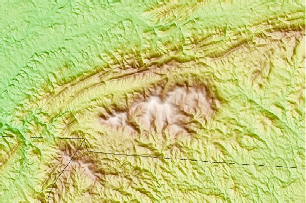
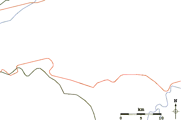
Use this relief map to navigate to mountain peaks in the area of Mount Rogers.
10 other mountain peaks closest to Mount Rogers:
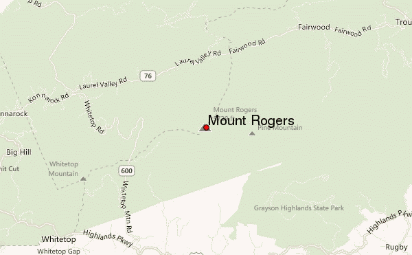
| 1. | Whitetop Mountain (1682 m) | 5.9 km |
| 2. | Three Top Mountain (North Carolina) (1483 m) | 26.2 km |
| 3. | Mount Jefferson (Blue Ridge) (1427 m) | 29.5 km |
| 4. | Elk Knob (Watauga County, North Carolina) (1688 m) | 38.9 km |
| 5. | Snake Mountain (North Carolina) (1696 m) | 39.4 km |
| 6. | Rich Mountain Bald (Watauga County, North Carolina) (1634 m) | 41.7 km |
| 7. | Tomkins Knob (1242 m) | 47.0 km |
| 8. | Fire Scale Mountain (1172 m) | 47.7 km |
| 9. | Howard Knob (1340 m) | 49.1 km |
| 10. | Rich Mountain (Watauga County, North Carolina) (1445 m) | 49.3 km |