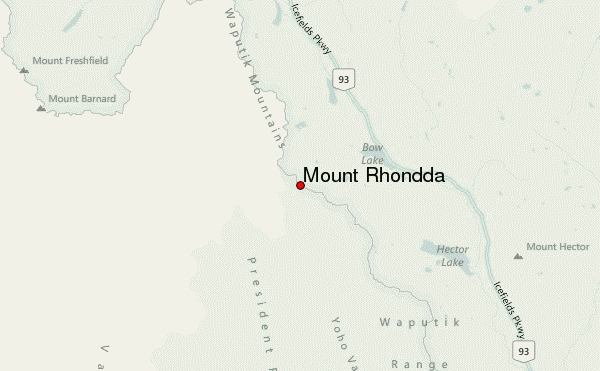
– Lat/Long: 51.64° N 116.57° W
 Mount Rhondda – Climbing, Hiking & Mountaineering information
Mount Rhondda – Climbing, Hiking & Mountaineering information
Mount Rhondda mountain guide
- Elevation: 3062 m
- Difficulty:
- Best months to climb:
- Convenient center:
Mount Rhondda Climbing NotesBe the first to submit your climbing note! Please submit any useful information about climbing Mount Rhondda that may be useful to other climbers. Consider things such as access and accommodation at the base of Mount Rhondda, as well as the logistics of climbing to the summit. |
| Select a
mountain summit from the menu |
||
|
Select a Mountain Summit
|
||
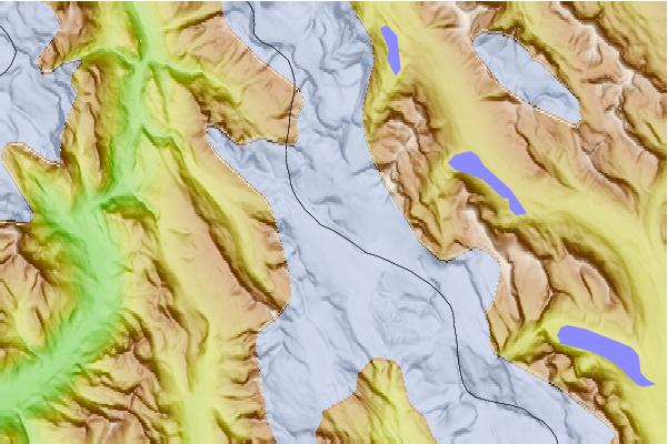
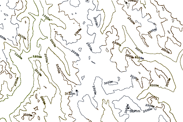
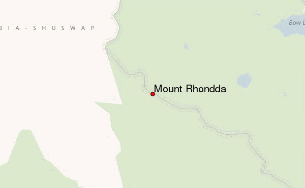
Use this relief map to navigate to mountain peaks in the area of Mount Rhondda.
10 other mountain peaks closest to Mount Rhondda:
| 1. | Mount Habel (3087 m) | 0.5 km |
| 2. | St Nicholas Peak (2970 m) | 2.8 km |
| 3. | Mount Baker (Alberta) (3180 m) | 3.1 km |
| 4. | Mount Collie (3143 m) | 3.3 km |
| 5. | Trapper Peak (Canada) (2988 m) | 4.1 km |
| 6. | Peyto Peak (2980 m) | 4.5 km |
| 7. | Saint Nicholas Peak (Canada) (2938 m) | 4.7 km |
| 8. | Mont des Poilus (3166 m) | 6.3 km |
| 9. | Mount Olive (Canadian Rockies) (3126 m) | 6.3 km |
| 10. | Mistaya Mountain (3096 m) | 7.6 km |
 Like us
 Follow us
