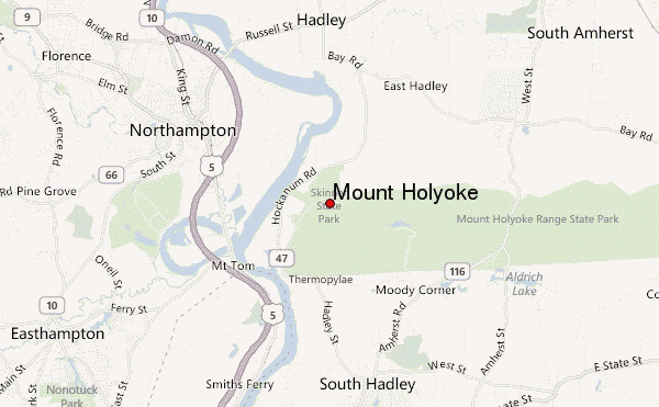
– Lat/Long: 42.30° N 72.59° W
 Mount Holyoke – Climbing, Hiking & Mountaineering information
Mount Holyoke – Climbing, Hiking & Mountaineering information
Mount Holyoke mountain guide

- Elevation: 285 m
- Difficulty:
- Best months to climb:
- Convenient center:
Mount Holyoke Climbing NotesBe the first to submit your climbing note! Please submit any useful information about climbing Mount Holyoke that may be useful to other climbers. Consider things such as access and accommodation at the base of Mount Holyoke, as well as the logistics of climbing to the summit. |
| Select a
mountain summit from the menu |
||
|
Select a Mountain Summit
|
||
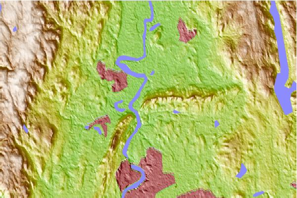
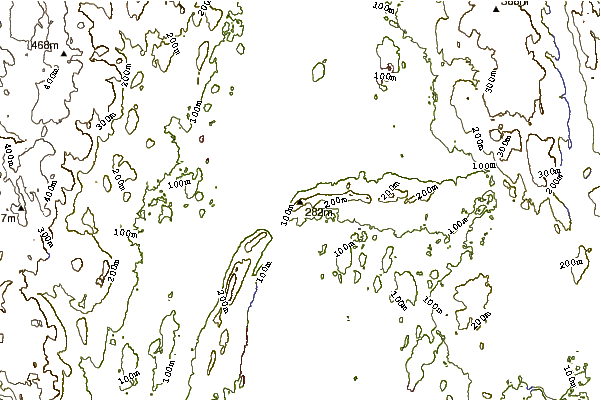
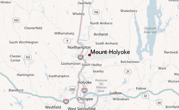
Use this relief map to navigate to mountain peaks in the area of Mount Holyoke.
10 other mountain peaks closest to Mount Holyoke:
| 1. | Seven Sisters (Massachusetts) (288 m) | 0.5 km |
| 2. | Mount Nonotuck (252 m) | 3.6 km |
| 3. | Bare Mountain (Massachusetts) (309 m) | 4.6 km |
| 4. | Mount Norwottuck (337 m) | 6.4 km |
| 5. | Mount Tom (Massachusetts) (366 m) | 8.3 km |
| 6. | Long Mountain (Hampshire County, Massachusetts) (280 m) | 8.6 km |
| 7. | East Mountain (Hampden County, Massachusetts) (237 m) | 8.8 km |
| 8. | Mount Orient (291 m) | 14.6 km |
| 9. | Mount Lincoln (Massachusetts) (378 m) | 15.2 km |
| 10. | Petticoat Hill (1180 m) | 15.8 km |

 Like us
 Follow us
