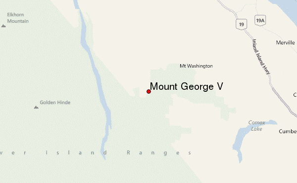
– Lat/Long: 49.69° N 125.43° W
 Mount George V – Climbing, Hiking & Mountaineering information
Mount George V – Climbing, Hiking & Mountaineering information
Mount George V guide
- Elevation: 1883 m
- Difficulty:
- Best months to climb:
- Convenient center:
Mount George V Climbing NotesBe the first to submit your climbing note! Please submit any useful information about climbing Mount George V that may be useful to other climbers. Consider things such as access and accommodation at the base of Mount George V, as well as the logistics of climbing to the summit. |
| Select a
mountain summit from the menu |
||
|
Select a Mountain Summit
|
||
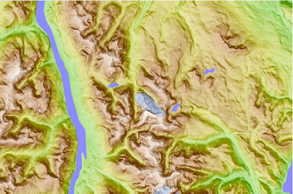
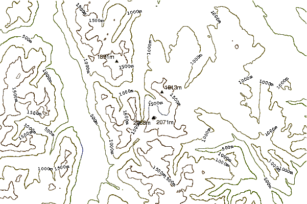
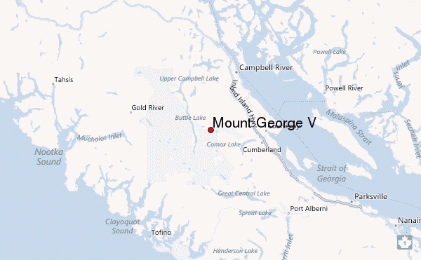
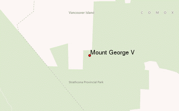
Use this relief map to navigate to mountain peaks in the area of Mount George V.
10 other mountain peaks closest to Mount George V:
| 1. | Mount Regan (1976 m) | 0.9 km |
| 2. | Jutland Mountain (1821 m) | 1.6 km |
| 3. | Mount Albert Edward (British Columbia) (2093 m) | 1.7 km |
| 4. | Mount Mitchell (British Columbia) (1842 m) | 2.3 km |
| 5. | Mount Albert Edward (2094 m) | 3.1 km |
| 6. | Mount Frink (1950 m) | 3.7 km |
| 7. | Castlecrag Mountain (1765 m) | 4.7 km |
| 8. | Alexandra Peak (1983 m) | 6.6 km |
| 9. | Mount Adrian (1870 m) | 9.9 km |
| 10. | Mount Washington Bike Park (1573 m) | 10.8 km |

