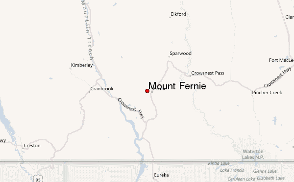
– Lat/Long: 49.52° N 115.12° W
 Mount Fernie – Climbing, Hiking & Mountaineering information
Mount Fernie – Climbing, Hiking & Mountaineering information
Mount Fernie mountain guide
- Elevation: 2210 m
- Difficulty:
- Best months to climb:
- Convenient center:
Mount Fernie Climbing NotesBe the first to submit your climbing note! Please submit any useful information about climbing Mount Fernie that may be useful to other climbers. Consider things such as access and accommodation at the base of Mount Fernie, as well as the logistics of climbing to the summit. |

| Select a
mountain summit from the menu |
||
|
Select a Mountain Summit
|
||
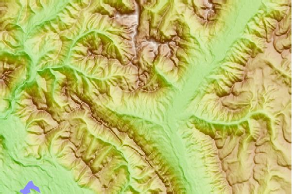
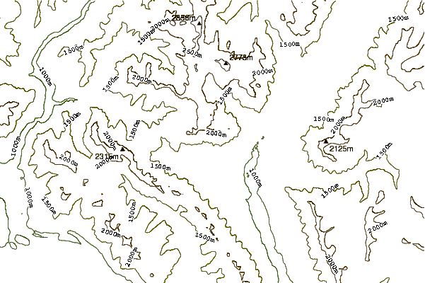
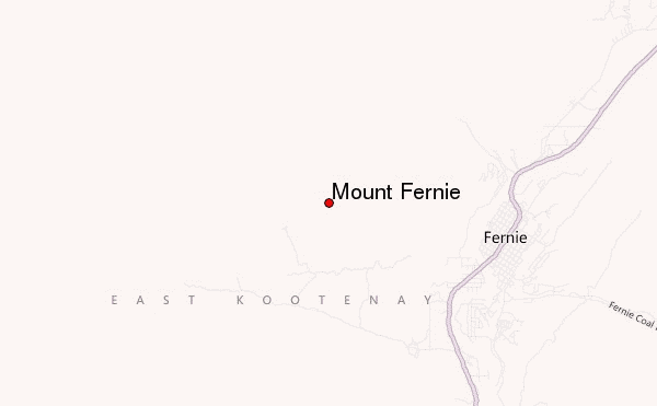
Use this relief map to navigate to mountain peaks in the area of Mount Fernie.
10 other mountain peaks closest to Mount Fernie:
| 1. | Three Sisters (Elk Valley) (2788 m) | 6.8 km |
| 2. | Mount Hosmer (British Columbia) (2500 m) | 14.1 km |
| 3. | Tent Mountain (2210 m) | 30.2 km |
| 4. | Mount Ptolemy (Crowsnest Range) (2813 m) | 35.3 km |
| 5. | Crowsnest Ridge (1903 m) | 35.8 km |
| 6. | Phillipps Peak (2500 m) | 37.2 km |
| 7. | Mount Pengelly (2586 m) | 38.0 km |
| 8. | Mount Darrah (2758 m) | 38.2 km |
| 9. | Mount McGladrey (2638 m) | 38.4 km |
| 10. | Andy Good Peak (2662 m) | 38.7 km |
 Like us
 Follow us
