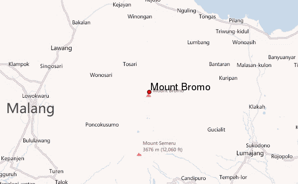
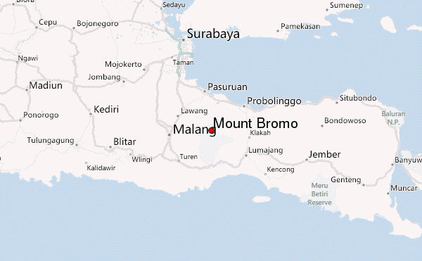
– Lat/Long: 7.94° S 112.95° E
 Mount Bromo – Climbing, Hiking & Mountaineering information
Mount Bromo – Climbing, Hiking & Mountaineering information
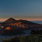
Mount Bromo mountain guide
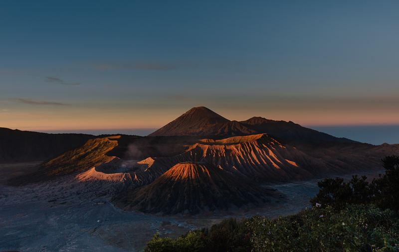
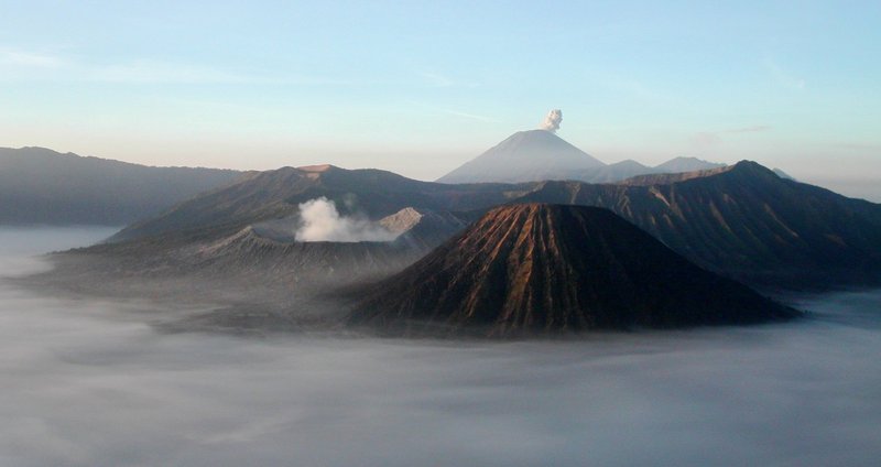
- Elevation: 2329 m
- Difficulty:
- Best months to climb:
- Convenient center:
Mount Bromo Climbing Notes
Click here to read 4 more climbing notes for Mount Bromo or submit your own |
| Select a
mountain summit from the menu |
||
|
Select a Mountain Summit
|
||
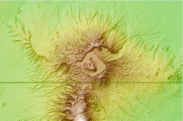
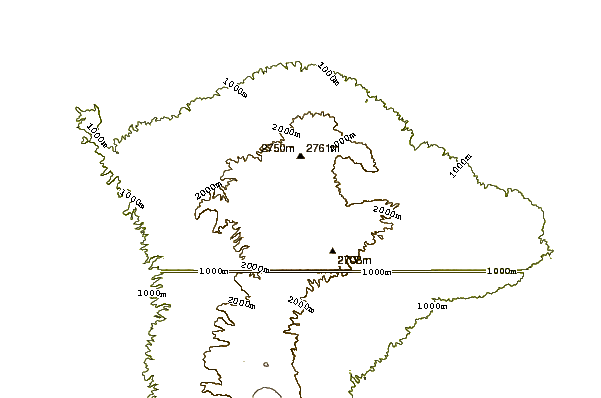
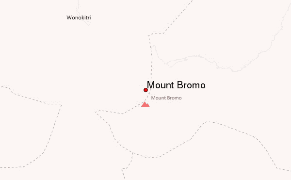
Use this relief map to navigate to mountain peaks in the area of Mount Bromo.
10 other mountain peaks closest to Mount Bromo:
| 1. | Tengger Caldera (2329 m) | 0.2 km |
| 2. | Semeru (3676 m) | 19.0 km |
| 3. | Malang Plain (680 m) | 31.1 km |
| 4. | Lamongan (1651 m) | 43.7 km |
| 5. | Arjuno-welirang (3339 m) | 47.3 km |
| 6. | Penanggungan (1653 m) | 50.1 km |
| 7. | Mount Penanggungan (1653 m) | 50.1 km |
| 8. | Mount Kawi (2551 m) | 55.2 km |
| 9. | Kawi-butak (2651 m) | 55.2 km |
| 10. | Mount Butak (2868 m) | 55.2 km |
 Like us
 Follow us
