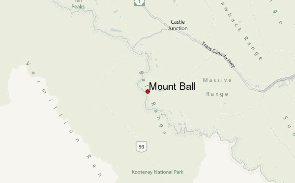
– Lat/Long: 51.16° N 116.01° W
 Mount Ball – Climbing, Hiking & Mountaineering information
Mount Ball – Climbing, Hiking & Mountaineering information
Mount Ball mountain guide
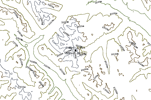
- Elevation: 3311 m
- Difficulty: Basic Snow and Ice Climb
- Best months to climb: Summer
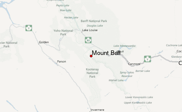
- Convenient center: Lake Louise
Mount Ball Climbing NotesBe the first to submit your climbing note! Please submit any useful information about climbing Mount Ball that may be useful to other climbers. Consider things such as access and accommodation at the base of Mount Ball, as well as the logistics of climbing to the summit. |
| Select a
mountain summit from the menu |
||
|
Select a Mountain Summit
|
||
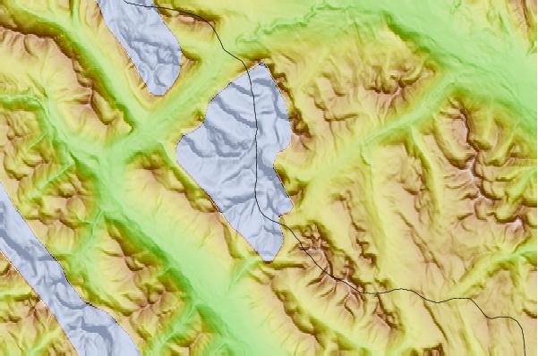
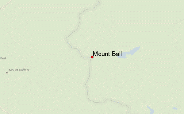
Use this relief map to navigate to mountain peaks in the area of Mount Ball.
10 other mountain peaks closest to Mount Ball:
| 1. | Stanley Peak (3155 m) | 1.2 km |
| 2. | Beatrice Peak (3125 m) | 1.4 km |
| 3. | Isabelle Peak (2934 m) | 3.6 km |
| 4. | Storm Mountain (3100 m) | 5.7 km |
| 5. | Haiduk Peak (2920 m) | 7.2 km |
| 6. | Copper Mountain (Alberta) (2795 m) | 10.4 km |
| 7. | Mount Whymper (2844 m) | 11.2 km |
| 8. | Boom Mountain (2758 m) | 11.6 km |
| 9. | Mount Brett (2984 m) | 13.1 km |
| 10. | Pilot Mountain (2954 m) | 13.2 km |
 Like us
 Follow us
