– Lat/Long: 46.10° N 8.87° E
 Monte Tamaro – Climbing, Hiking & Mountaineering information

Monte Tamaro Guide
- Elevation: 1962
- Difficulty: -
- Best months to climb: -
- Convenient center: -
Monte Tamaro climbers NotesBe the first to submit your climbers note! Please submit any useful information about climbing Monte Tamaro that may be useful to other climbers. Consider things such as access and accommodation at the base of Monte Tamaro, as well as the logistics of climbing to the summit. |
| Select a
mountain summit from the menu |
||
|
Select a Mountain Summit
|
||
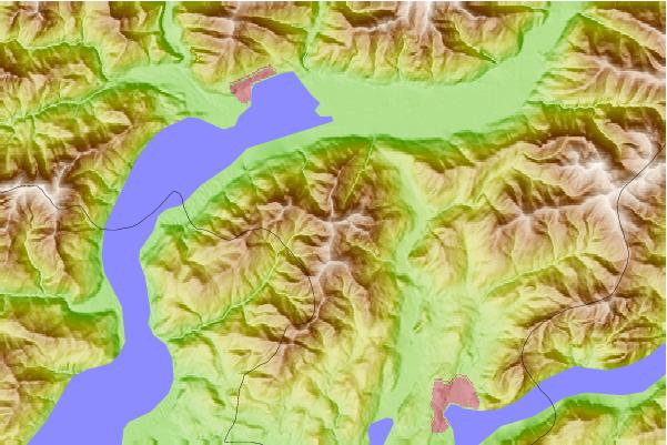
Use this relief map to navigate to mountain peaks in the area of Monte Tamaro.
10 other mountain peaks closest to Monte Tamaro:
| 1. | Capanna Tamaro (1867 m) | 1.2 km |
| 2. | Capanna Gambarögn (1720 m) | 2.9 km |
| 3. | Capanna Merigetto (1502 m) | 3.7 km |
| 4. | Alpe Cedullo (1291 m) | 3.9 km |
| 5. | Rifugio al Passo d'Agario (1561 m) | 4.0 km |
| 6. | Alpetto Caviano (1255 m) | 6.0 km |
| 7. | Monte Lema (1621 m) | 7.6 km |
| 8. | Capanna Ginestra (950 m) | 9.1 km |
| 9. | Alpe Rompiago (1275 m) | 10.2 km |
| 10. | Capanna Lego (1121 m) | 10.9 km |