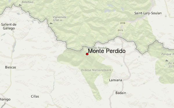
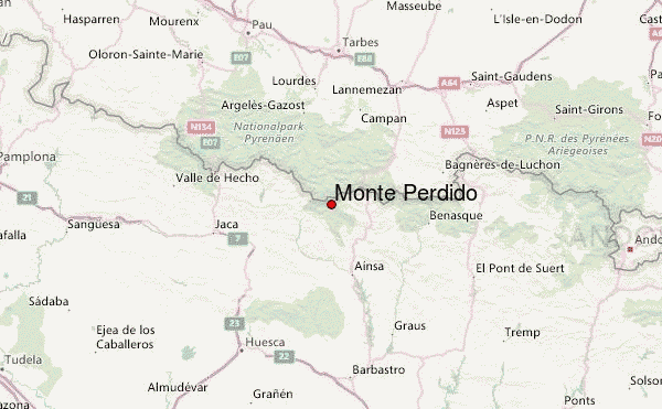
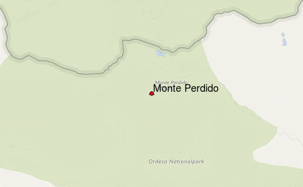
– Lat/Long: 42.68° N 0.03° E
 Monte Perdido – Climbing, Hiking & Mountaineering information
Monte Perdido – Climbing, Hiking & Mountaineering information
Monte Perdido mountain guide
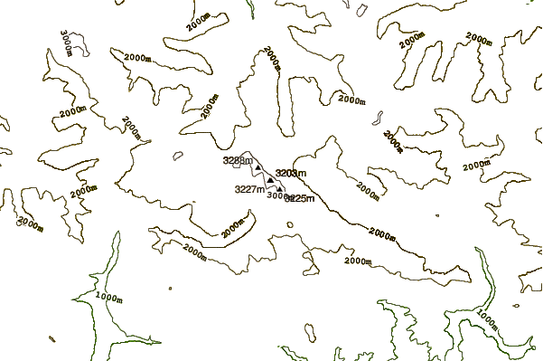
- Elevation: 3355 m
- Difficulty: Walk up
- Best months to climb: May, June, July, August, September
- Convenient center: Torla, Spain
Monte Perdido Climbing NotesBe the first to submit your climbing note! Please submit any useful information about climbing Monte Perdido that may be useful to other climbers. Consider things such as access and accommodation at the base of Monte Perdido, as well as the logistics of climbing to the summit. |
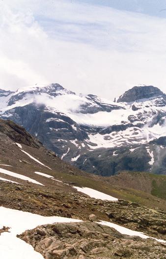
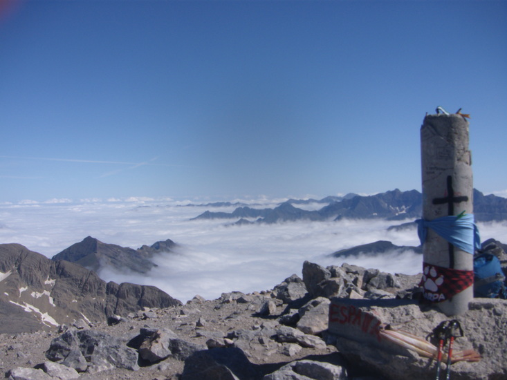
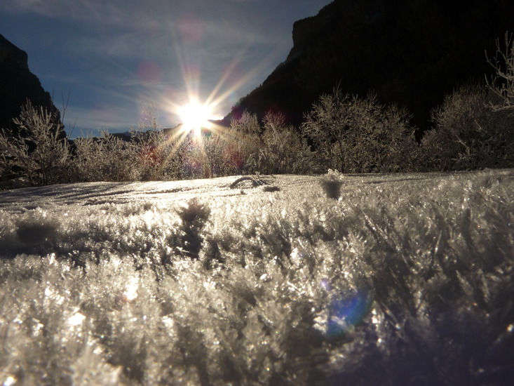
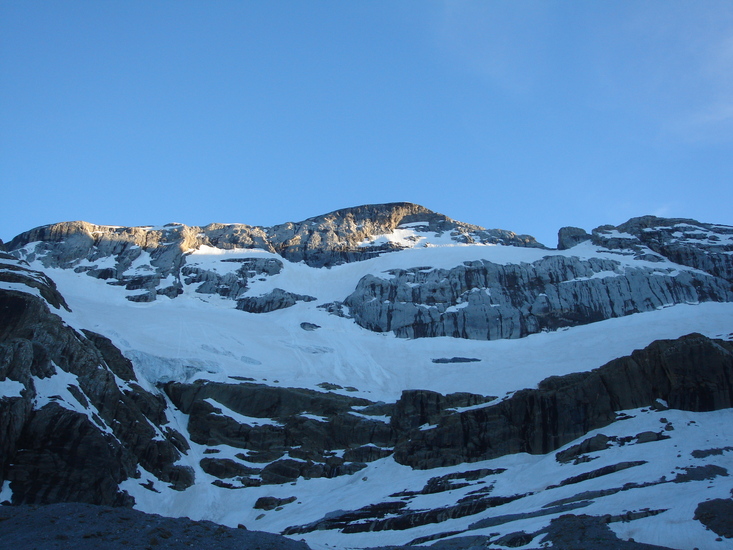
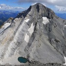
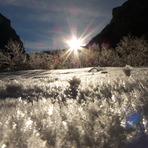
Latest Gallery Images for Monte Perdido
| Select a
mountain summit from the menu |
||
|
Select a Mountain Summit
|
||
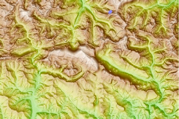
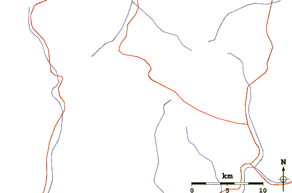
Use this relief map to navigate to mountain peaks in the area of Monte Perdido.
10 other mountain peaks closest to Monte Perdido:
| 1. | Soum de Ramond (3263 m) | 0.8 km |
| 2. | Cilindro de Marboré (3328 m) | 1.4 km |
| 3. | Taillon (3147 m) | 7.3 km |
| 4. | Pic de la Munia (3133 m) | 9.3 km |
| 5. | Vignemale (3298 m) | 18.5 km |
| 6. | Pic Ramougn (3011 m) | 18.9 km |
| 7. | Pic de Nèouvielle (3092 m) | 19.0 km |
| 8. | Peña Montañesa (2295 m) | 23.6 km |
| 9. | Cancias (1997 m) | 27.0 km |
| 10. | Pic Long (3192 m) | 27.5 km |
 Like us
 Follow us
