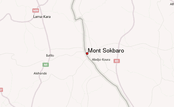
– Lat/Long: 9.33° N 1.42° E
 Mont Sokbaro – Climbing, Hiking & Mountaineering information
Mont Sokbaro – Climbing, Hiking & Mountaineering information
Mont Sokbaro mountain guide
- Elevation: 658 m
- Difficulty:
- Best months to climb:
- Convenient center:
Mont Sokbaro Climbing NotesBe the first to submit your climbing note! Please submit any useful information about climbing Mont Sokbaro that may be useful to other climbers. Consider things such as access and accommodation at the base of Mont Sokbaro, as well as the logistics of climbing to the summit. |
| Select a
mountain summit from the menu |
||
|
Select a Mountain Summit
|
||
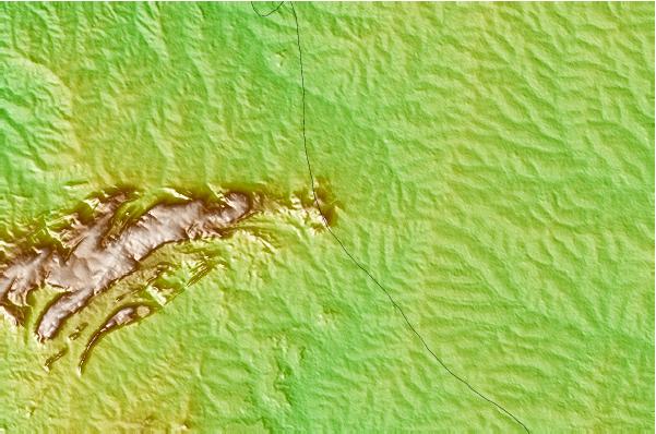
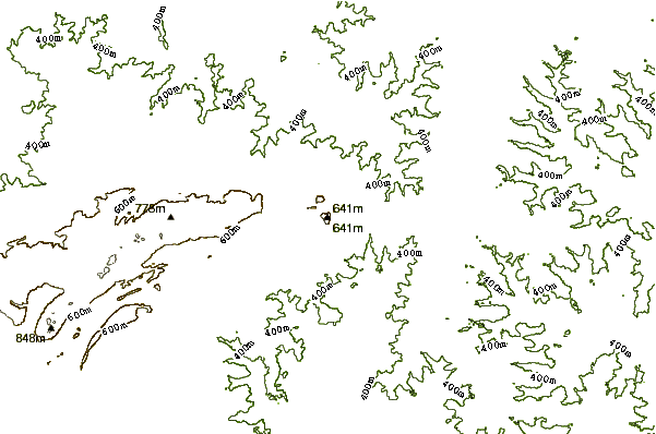
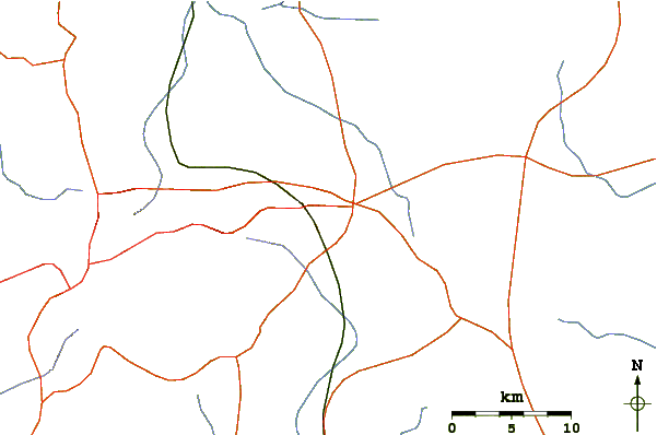
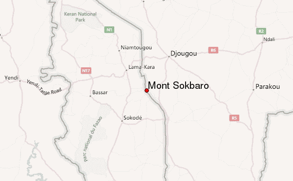
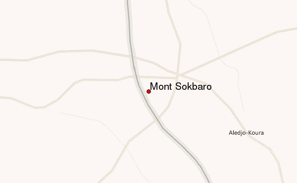
Use this relief map to navigate to mountain peaks in the area of Mont Sokbaro.
10 other mountain peaks closest to Mont Sokbaro:
| 1. | Mount Afadjato (880 m) | 269.8 km |
| 2. | Mount Agou (986 m) | 283.1 km |
| 3. | Mount Hombori (1153 m) | 740.2 km |
| 4. | Mount Tenakourou (749 m) | 765.3 km |
| 5. | Shere Hills (1829 m) | 840.5 km |
| 6. | Sankwala Mountains (1800 m) | 919.5 km |
| 7. | Oshie Ridge (1716 m) | 933.6 km |
| 8. | Rumpi Hills (1768 m) | 986.6 km |
| 9. | Cameroon Mountain (4070 m) | 1029.2 km |
| 10. | San Carlos (2260 m) | 1029.4 km |
 Like us
 Follow us
