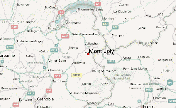
– Lat/Long: 45.82° N 6.68° E
 Mont Joly – Climbing, Hiking & Mountaineering information

Mont Joly Guide
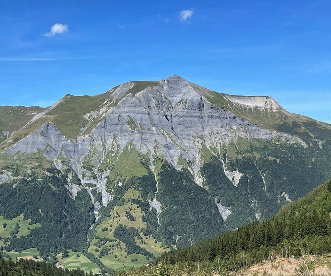
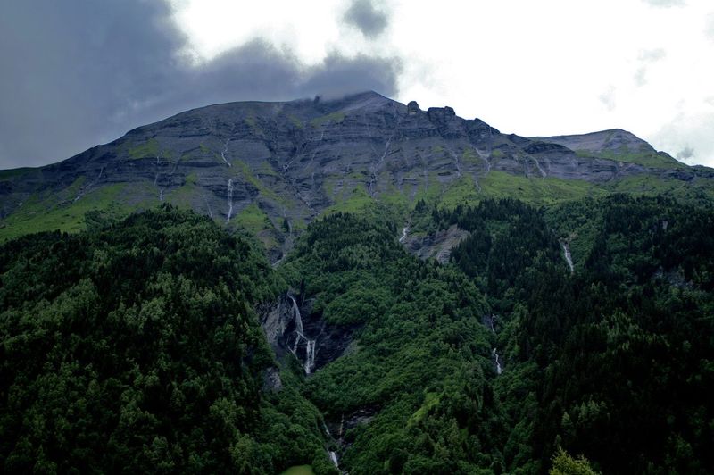
- Elevation: 2525
- Difficulty: Walk up
- Best months to climb: June, July, August
- Convenient center: Les Contamines
Mont Joly climbers NotesBe the first to submit your climbers note! Please submit any useful information about climbing Mont Joly that may be useful to other climbers. Consider things such as access and accommodation at the base of Mont Joly, as well as the logistics of climbing to the summit. |

| Select a
mountain summit from the menu |
||
|
Select a Mountain Summit
|
||
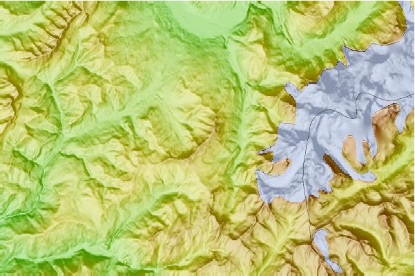
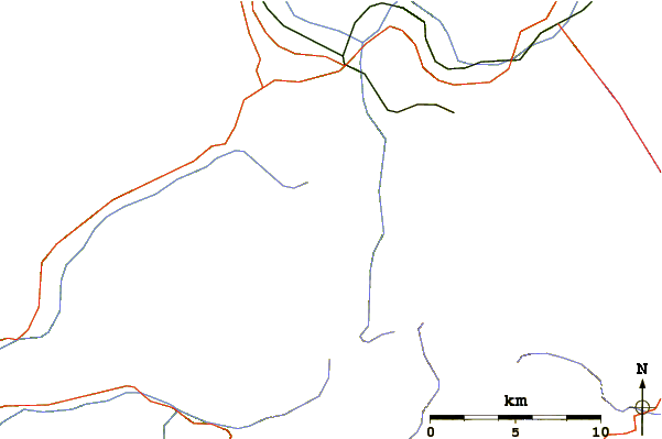
Use this relief map to navigate to mountain peaks in the area of Mont Joly.
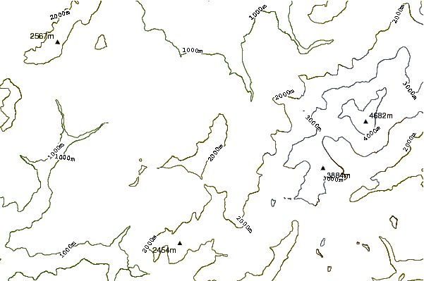
10 other mountain peaks closest to Mont Joly:
| 1. | Aiguille Croche (2487 m) | 2.7 km |
| 2. | Mont d'Arbois (1833 m) | 4.4 km |
| 3. | Refuge de Tré-la-Tête (1970 m) | 4.9 km |
| 4. | Mont de Vores (2069 m) | 6.7 km |
| 5. | Tête de la Gicle (2552 m) | 6.9 km |
| 6. | Refuge des Conscrits (2580 m) | 7.3 km |
| 7. | Aiguilles de la Penaz (2688 m) | 8.1 km |
| 8. | Mont Tondu (3196 m) | 8.1 km |
| 9. | Refuge Robert Blanc (2750 m) | 9.1 km |
| 10. | Refuge du col de la Croix du Bonhomme (2443 m) | 9.3 km |