– Lat/Long: 44.83° N 5.55° E
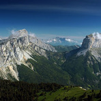
 Mont Aiguille – Climbing, Hiking & Mountaineering information

Mont Aiguille Guide
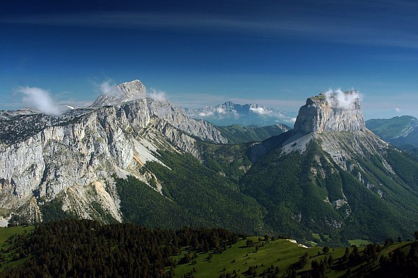
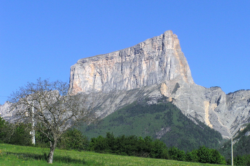
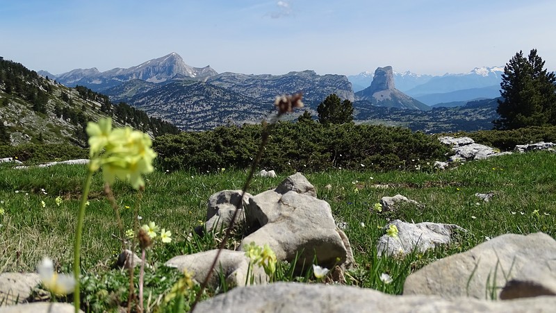
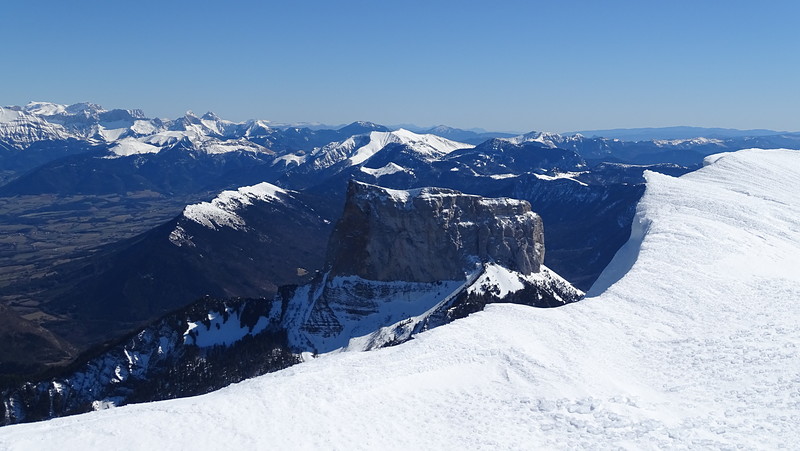
- Elevation: 2085
- Difficulty: Technical Climb
- Best months to climb: July, August, September
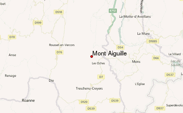
- Convenient center: Grenoble, France
Mont Aiguille climbers Notes
Click here to submit your own climbing note for Mont Aiguille |
| Select a
mountain summit from the menu |
||
|
Select a Mountain Summit
|
||
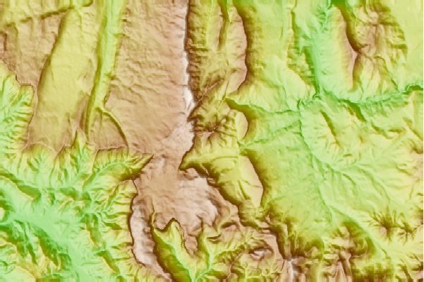
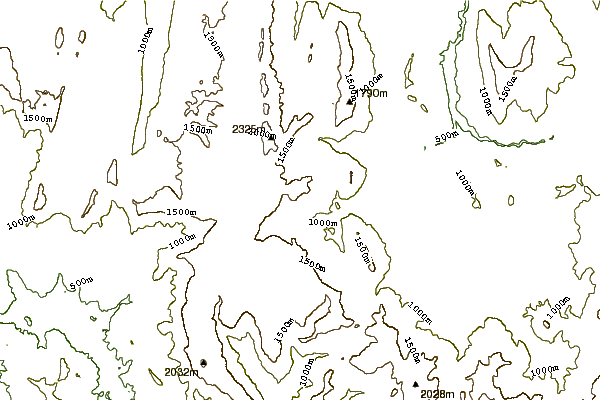
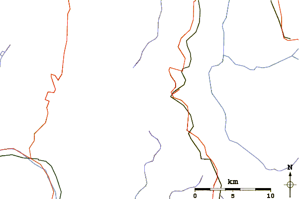
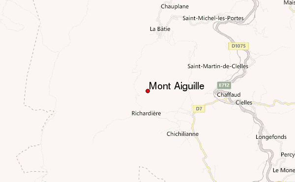
Use this relief map to navigate to mountain peaks in the area of Mont Aiguille.
10 other mountain peaks closest to Mont Aiguille:
| 1. | Grand Veymont (2341 m) | 4.0 km |
| 2. | Sénépy (1769 m) | 15.8 km |
| 3. | L'Obiou (2800 m) | 23.5 km |
| 4. | Grand Ferrand (2758 m) | 24.3 km |
| 5. | Rocher Rond (2453 m) | 26.6 km |
| 6. | Le Tabor (2389 m) | 28.9 km |
| 7. | Moucherotte (1901 m) | 35.7 km |
| 8. | Pic De Bure (2708 m) | 37.7 km |
| 9. | Le Rochail (3023 m) | 41.3 km |
| 10. | Roche de la Muzelle (3465 m) | 44.8 km |