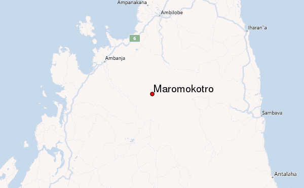
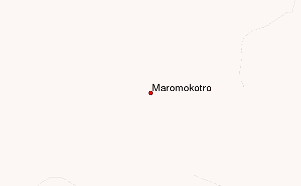
– Lat/Long: 14.02° S 48.97° E
 Maromokotro – Climbing, Hiking & Mountaineering information

Maromokotro Guide
- Elevation: 2886
- Difficulty: -
- Best months to climb: -
- Convenient center: -
Maromokotro climbers Notes
|

| Select a
mountain summit from the menu |
||
|
Select a Mountain Summit
|
||
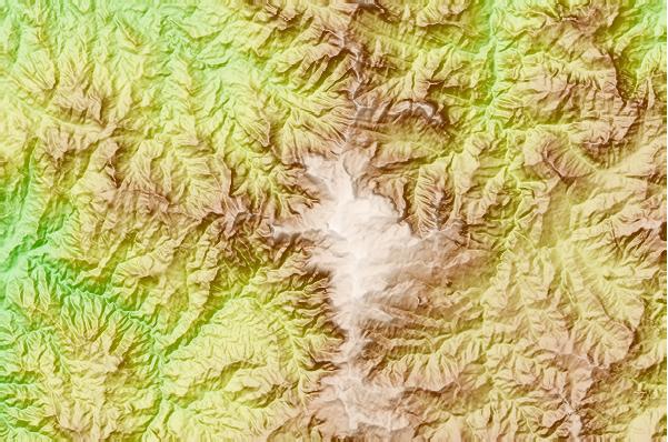
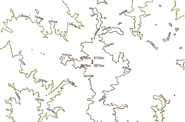
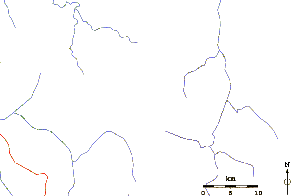
Use this relief map to navigate to mountain peaks in the area of Maromokotro.
10 other mountain peaks closest to Maromokotro:
| 1. | Ambre-bobaomby (1475 m) | 171.7 km |
| 2. | Benara (660 m) | 430.8 km |
| 3. | Tsiafajavona (2638 m) | 621.1 km |
| 4. | Mount Karthala (2361 m) | 656.5 km |
| 5. | La Grille (1087 m) | 674.3 km |
| 6. | Bobby Peak (2668 m) | 896.9 km |
| 7. | Maïdo (2205 m) | 1039.0 km |
| 8. | Grand Bénare (2898 m) | 1045.3 km |
| 9. | Gros Morne, Réunion (3019 m) | 1045.8 km |
| 10. | Piton des Neiges (3070 m) | 1046.8 km |