– Lat/Long: 12.63° N 42.33° E
 Manda-Inakir – Climbing, Hiking & Mountaineering information

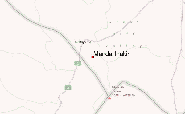
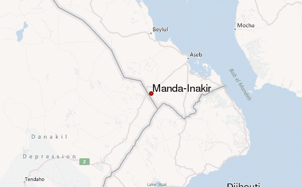
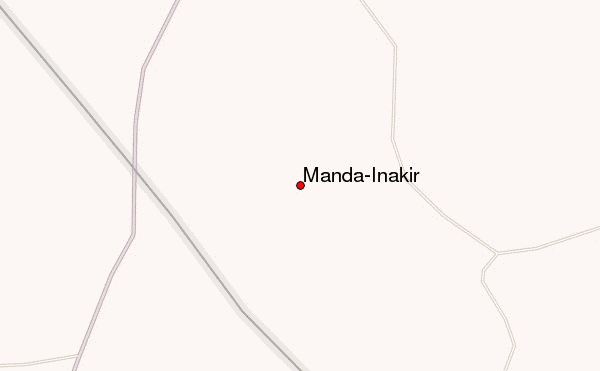
Manda-Inakir Guide
- Elevation: 600
- Difficulty: -
- Best months to climb: -
- Convenient center: -
Manda-Inakir climbers NotesBe the first to submit your climbers note! Please submit any useful information about climbing Manda-Inakir that may be useful to other climbers. Consider things such as access and accommodation at the base of Manda-Inakir, as well as the logistics of climbing to the summit. |
| Select a
mountain summit from the menu |
||
|
Select a Mountain Summit
|
||
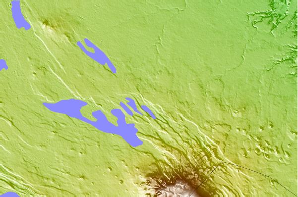
Use this relief map to navigate to mountain peaks in the area of Manda-Inakir.
10 other mountain peaks closest to Manda-Inakir:
| 1. | Mousa Ali (2028 m) | 19.5 km |
| 2. | Mousa Alli (2028 m) | 19.5 km |
| 3. | Gufa Volcano (600 m) | 23.3 km |
| 4. | Asseb Volcano (987 m) | 26.3 km |
| 5. | Sorkale (1611 m) | 89.8 km |
| 6. | Asavyo (1200 m) | 93.2 km |
| 7. | Mallahle (1875 m) | 102.5 km |
| 8. | Mount Sarkali (1845 m) | 102.9 km |
| 9. | Nabro (2218 m) | 107.0 km |
| 10. | Nabro Volcano (2218 m) | 107.0 km |