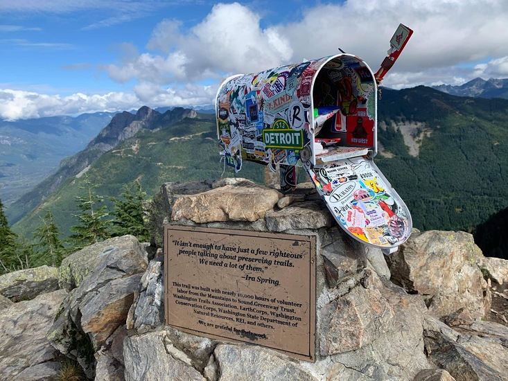
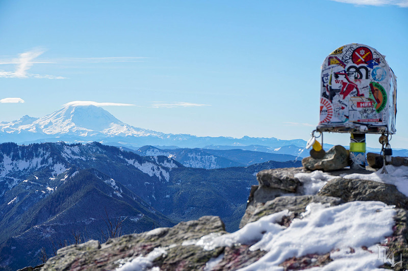
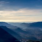
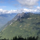
Mailbox Peak mountain guide
- Elevation: 1476 m
- Difficulty: Walk up
- Best months to climb: April, May, June, July, August, September, October
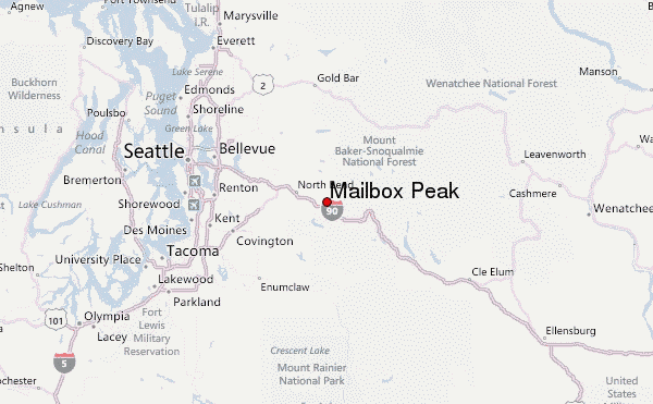
- Convenient center: North Bend
Mailbox Peak Climbing Notes
Francisco from UNITED STATES writes:
Bob,
you are correct. I'm glad I didn't read Greg's comment in 2012, I was a beginner and his advice would have discouraged me.
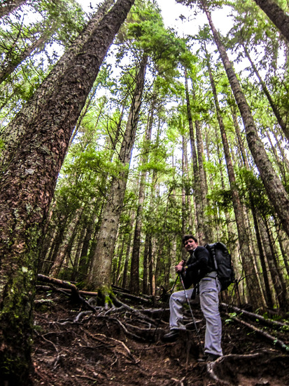
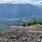
It was a bit hard hike for me 2 years ago, but not impossible, just took longer to get to the top.
Now I can jog up to the top in about 1hr. Beginner or Pro, this a must hike to do near Seattle.
2017-11-17 |
Click here to read 2 more climbing notes for Mailbox Peak or submit your own
|
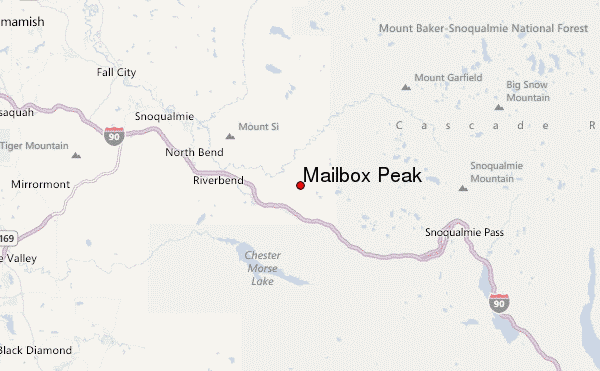
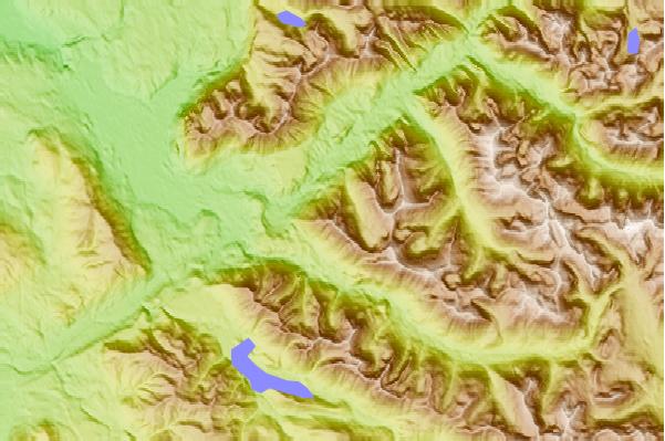
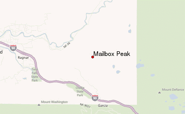
Select Mailbox Peak Location Map Detail:
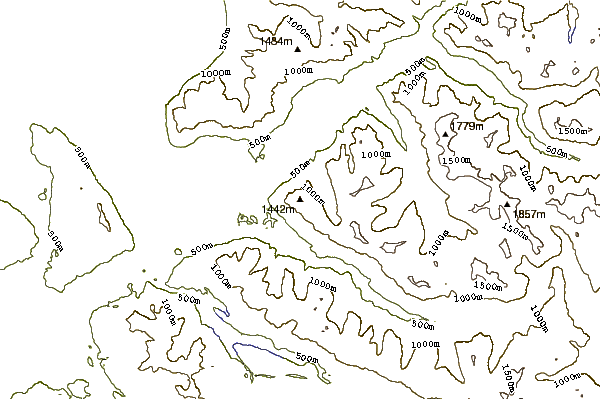
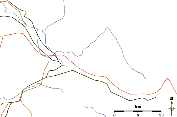
Use this relief map to navigate to mountain peaks in the area of Mailbox Peak.
10 other mountain peaks closest to Mailbox Peak:
 Mailbox Peak – Climbing, Hiking & Mountaineering information


 Like us
 Follow us
