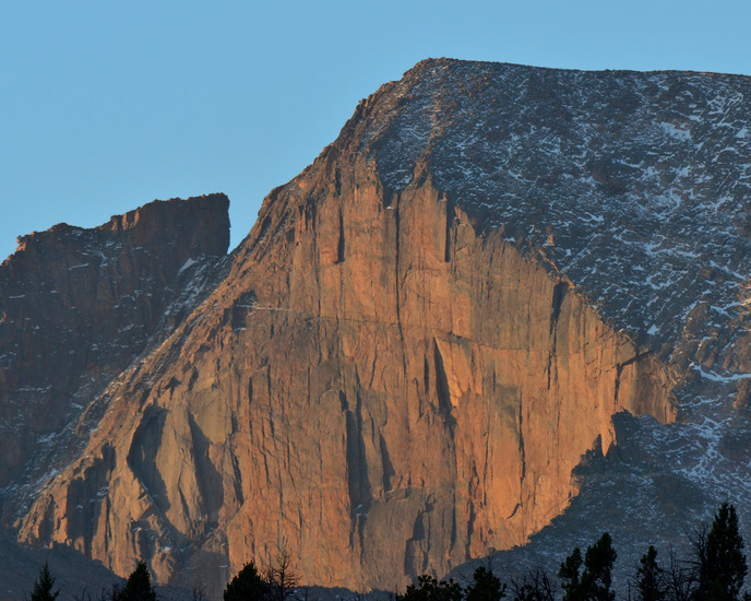
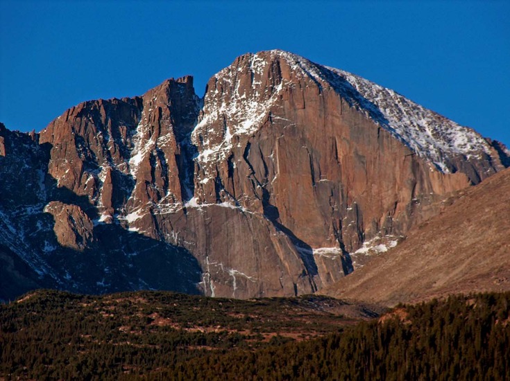
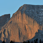
Longs Peak Guide
- Elevation: 4345
- Difficulty: Scramble
- Best months to climb: June, July, August, September
- Convenient center: Estes Park, Colorado
Longs Peak climbers Notes
Asif Waziri from UNITED STATES writes:
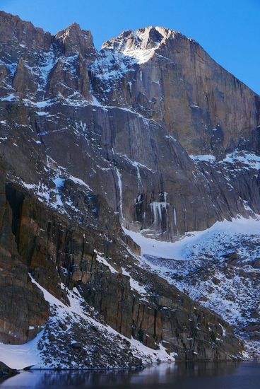
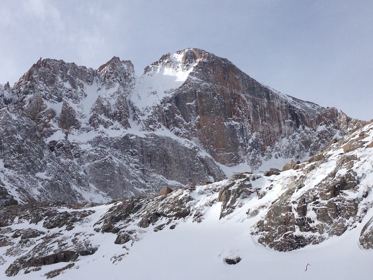
Easy summer ascent on the mammoth of the East Long's massive Diamond sets the precedent of an illusion, and perhaps even a delusion for the winter hardy mountain climbers. Climbing the Diamond face of Long's peak, especially in a free hand-solo, rope/anchor-free ascent in the middle of a winter storm, in minus 50 windchill temperatures, in the setting of a hundred pound mountaineering pack on one's shoulder, in my opinion, remains at best an elusive aspiration perhaps not meant to be fulfilled in the current times and era.
2017-01-11 |
Click here to read 1 more climbing note for Longs Peak or submit your own
|
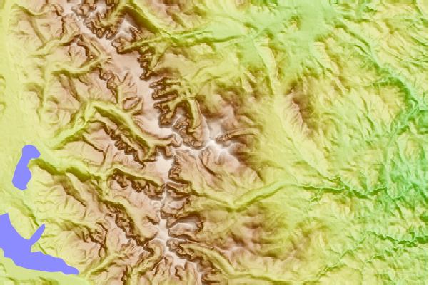
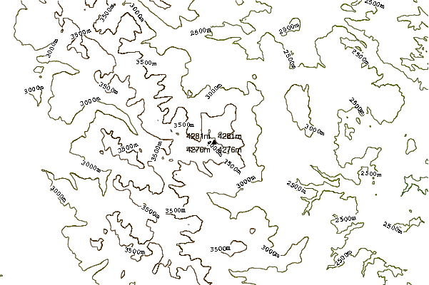
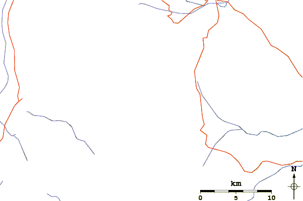
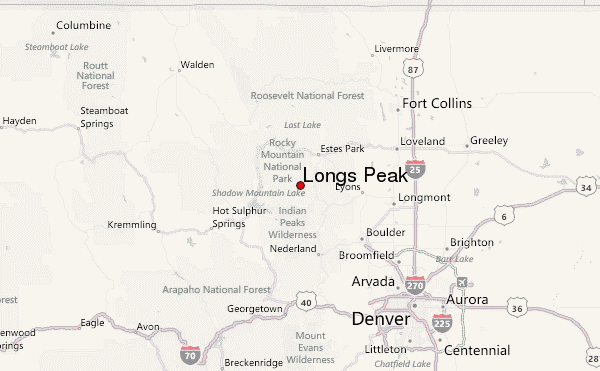
Select Longs Peak Location Map Detail:
Use this relief map to navigate to mountain peaks in the area of Longs Peak.
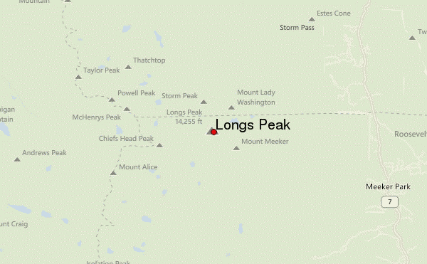
10 other mountain peaks closest to Longs Peak:
 Longs Peak – Climbing, Hiking & Mountaineering information

