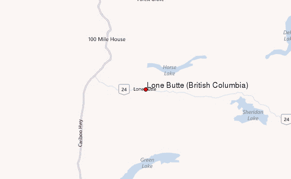
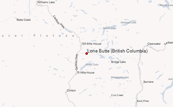
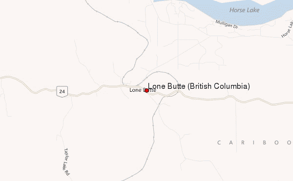
– Lat/Long: 51.55° N 121.19° W
 Lone Butte (British Columbia) – Climbing, Hiking & Mountaineering information
Lone Butte (British Columbia) – Climbing, Hiking & Mountaineering information
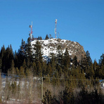
Lone Butte (British Columbia) mountain guide
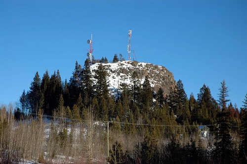
- Elevation: 1237 m
- Difficulty:
- Best months to climb:
- Convenient center:
Lone Butte (British Columbia) Climbing NotesBe the first to submit your climbing note! Please submit any useful information about climbing Lone Butte (British Columbia) that may be useful to other climbers. Consider things such as access and accommodation at the base of Lone Butte (British Columbia), as well as the logistics of climbing to the summit. |
| Select a
mountain summit from the menu |
||
|
Select a Mountain Summit
|
||
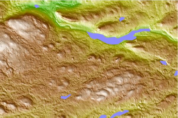
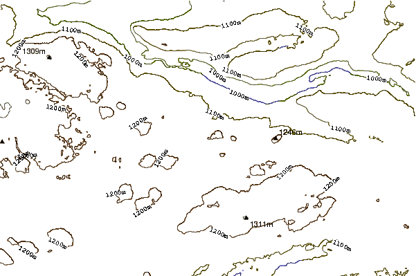
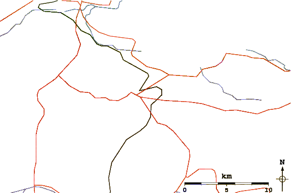
Use this relief map to navigate to mountain peaks in the area of Lone Butte (British Columbia).
10 other mountain peaks closest to Lone Butte (British Columbia):
| 1. | Stockton Hill (1574 m) | 60.7 km |
| 2. | Big Timothy Mountain (2160 m) | 63.6 km |
| 3. | Skoatl Point (1640 m) | 68.9 km |
| 4. | Pavilion Mountain (2089 m) | 72.2 km |
| 5. | Flourmill Cone (1495 m) | 74.3 km |
| 6. | Hyalo Ridge (2012 m) | 81.0 km |
| 7. | Spanish Lake Centre (1770 m) | 83.5 km |
| 8. | Spanish Bonk (1770 m) | 83.7 km |
| 9. | Chimney Rock (Canada) (1725 m) | 83.7 km |
| 10. | White Horse Bluff (200 m) | 83.8 km |
 Like us
 Follow us
