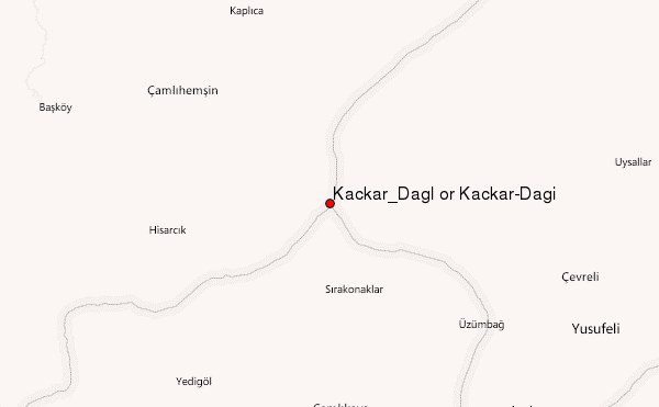
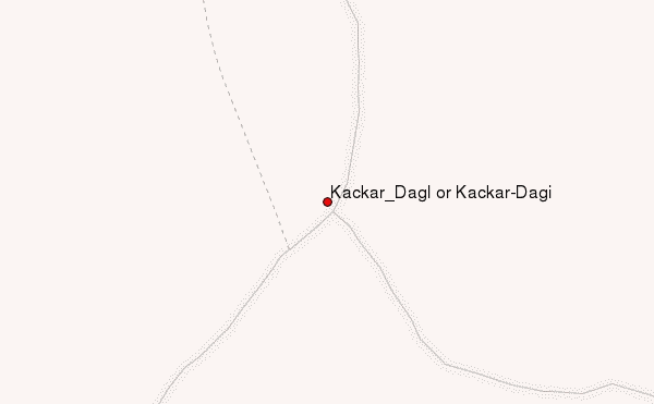
– Lat/Long: 40.83° N 41.15° E
 Kaçkar_Dağı or Kackar-Dagi – Climbing, Hiking & Mountaineering information

Kaçkar_Dağı or Kackar-Dagi guide

- Elevation: 3931 m
- Difficulty:
- Best months to climb: June, July, August, September, October
- Convenient center: Yukarı Kavrun
Kaçkar_Dağı or Kackar-Dagi Climbing NotesBe the first to submit your climbing note! Please submit any useful information about climbing Kaçkar_Dağı or Kackar-Dagi that may be useful to other climbers. Consider things such as access and accommodation at the base of Kaçkar_Dağı or Kackar-Dagi, as well as the logistics of climbing to the summit. |
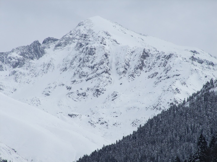
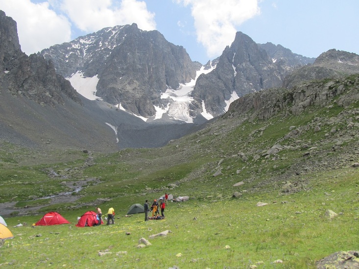
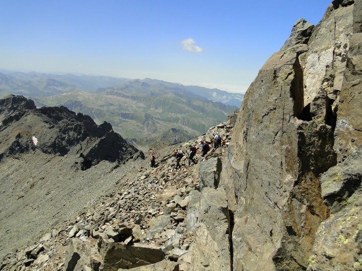
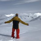
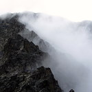
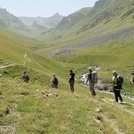
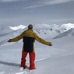
Latest Gallery Images for Kaçkar_Dağı or Kackar-Dagi

| Select a
mountain summit from the menu |
||
|
Select a Mountain Summit
|
||
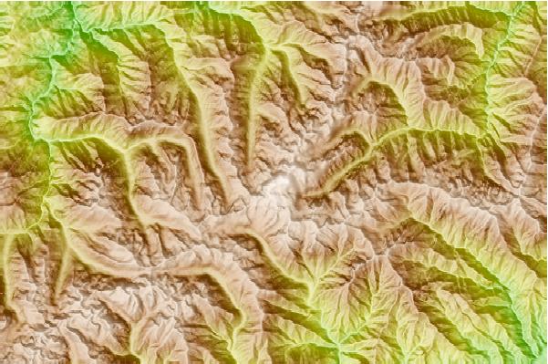
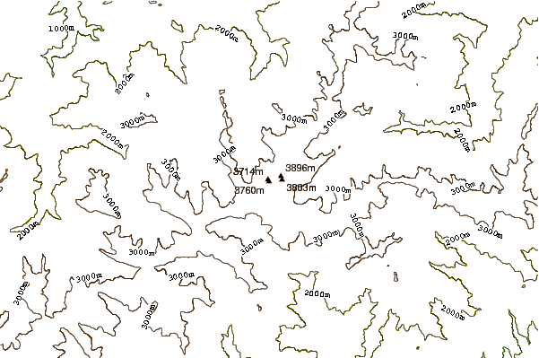
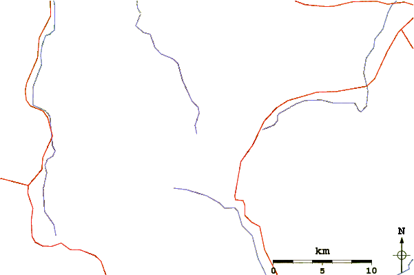
Use this relief map to navigate to mountain peaks in the area of Kaçkar_Dağı or Kackar-Dagi.
10 other mountain peaks closest to Kaçkar_Dağı or Kackar-Dagi:
| 1. | Kackar (3942 m) | 1.4 km |
| 2. | Altiparmak (3605 m) | 32.5 km |
| 3. | Manle (1950 m) | 54.1 km |
| 4. | Harman (3025 m) | 56.3 km |
| 5. | Anzer (3105 m) | 60.2 km |
| 6. | Karcal (3428 m) | 75.4 km |
| 7. | Palandöken Mountain (3271 m) | 110.1 km |
| 8. | Mount Karagöl (3107 m) | 126.4 km |
| 9. | Demirkapi (3376 m) | 126.4 km |
| 10. | Deveboynu (3082 m) | 126.9 km |