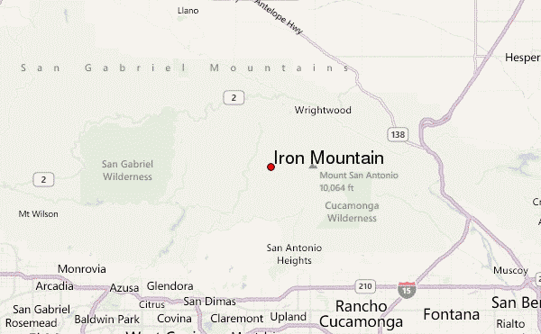
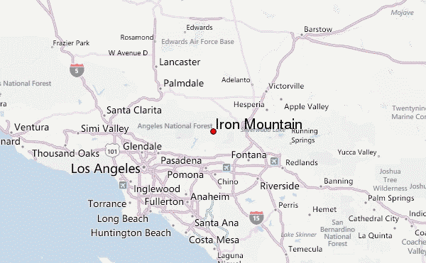
Hiking up to Iron Mountain
Iron Mountain or "Big Iron" is one of those hikes most people avoid because they have heard of all the difficult or grueling experiences of others. For me, that was my motivation to go and experience it for myself.
The hike is a long a grueling journey along the San Gabriel Mountains in which most of the hike is an uphill battle. I recommend trekking poles to help as they helped me out both on the way up and way down. There are areas in which the incline is nearly 60 to 70 degree grade. I also recommend pants as you will run into many yuccas with sharp sword like leaves along the trail which will make you bleed. Even though the distance is a little under 7 miles to the summit, it really takes a lot of work and time. My time to the summit was 6 hours and nearly 5 hours to get back down. I slipped on the loose rocks three times coming down but fortunately was not injured.
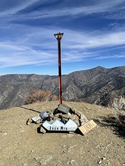
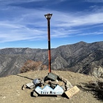
Overall I have to say this hike was epic with a beautiful 360 degree view at the summit. I have to say it was tough and I've hiked Mt. Whitney three times. I recommend it to anyone wanting a real challenge. Make sure to sign the notebook at the peak. Enjoy the trek and pain!
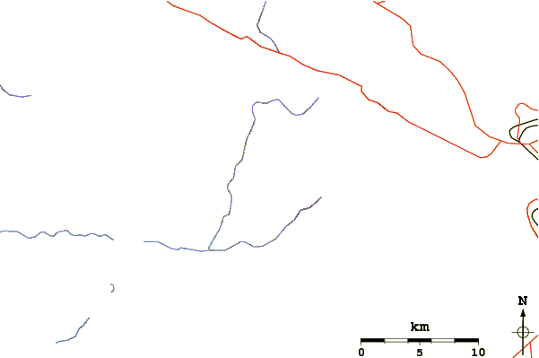
Route / Trail
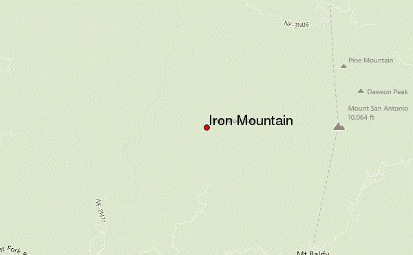
From the trailhead parking area, go past the large gate and hike north and east on the road that follows above the river bank for about ½ mile. There, by a smelly outhouse, the Heaton Flat Trail (designated 8W16) begins on your right.
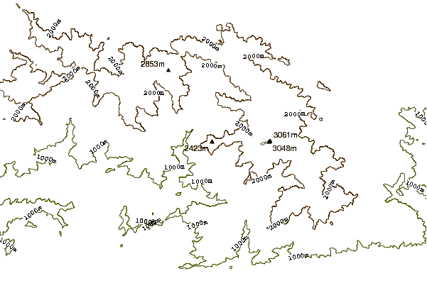
The trail heads generally northeast and is moderate in incline compared with what is to come. Continue on the trail up to the top of the ridge. You will come to small clearing with a wooden sign pointing to Bonita Peak. From here, the trail gets a little tougher as it continues over several small bumps until you reach the top of the trail at Allison Saddle. The elevation at this saddle is 4,582 feet, so you have gained a little over 2,500 feet since the start in about 3.5 miles. If you're doing this route on a hot day and are carrying extra water, this is a good place to stash it for the return.
From here, you head north up Iron's ridge along a use trail.
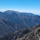
The route definitely gets prettier here. There are great views of Mt. Baldy to the east and of the awesome Big Horn Ridge that sweeps northeast toward Baldy.
To your left -west- Mt. Baden-Powell dominates the vista. But there are little drawbacks: exposed terrain alternating with a few shaded sections and hordes of yucca and buckthorn plants crowding the sides of the use trail.
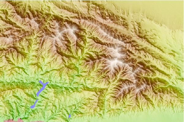
You will hike over 3 major bumps between Allison Saddle and the summit, at elevations 5,385, 6,138, and 7,264 feet.
In between, there are some demoralizing descents, knowing that you have to make up the loss to reach the summit.
The last mile involves 2,000 feet of gain.
It is tough even for well-conditioned mortals. The use trail may fade in and out during the last 1/2 mile. Remember to to stay left of the very spine of the ridge.
You will probably find the descent back to Allison Saddle a little challenging due to the steepness of the ridge and looseness of the dirt underfoot, providing a precarious escalator-like ride between the ever-present Yucca and Buckthorn. Trekking poles may be useful here.
You'll likely breathe a sigh of relief when you get back to Allison Saddle, knowing that a regular trail awaits your tired body back to the trailhead.
 Iron Mountain – Climbing, Hiking & Mountaineering information

