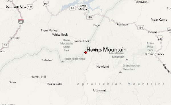
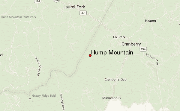
– Lat/Long: 36.14° N 82.01° W
 Hump Mountain – Climbing, Hiking & Mountaineering information

Hump Mountain Guide
- Elevation: 1703
- Difficulty: Walk up
- Best months to climb: May, June, July, August, September, October
- Convenient center: Boone
Hump Mountain climbers NotesBe the first to submit your climbers note! Please submit any useful information about climbing Hump Mountain that may be useful to other climbers. Consider things such as access and accommodation at the base of Hump Mountain, as well as the logistics of climbing to the summit. |
| Select a
mountain summit from the menu |
||
|
Select a Mountain Summit
|
||
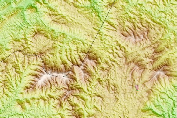
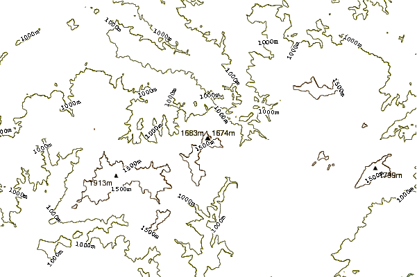
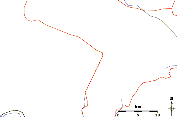
Use this relief map to navigate to mountain peaks in the area of Hump Mountain.
10 other mountain peaks closest to Hump Mountain:
| 1. | Big Yellow Mountain (1658 m) | 3.6 km |
| 2. | Grassy Ridge Bald (1844 m) | 7.6 km |
| 3. | Jane Bald (1770 m) | 8.2 km |
| 4. | Round Bald (1776 m) | 9.0 km |
| 5. | Little Yellow Mountain (North Carolina) (1678 m) | 9.8 km |
| 6. | Spanish Oak Mountain (1381 m) | 10.3 km |
| 7. | Roan High Knob (1916 m) | 10.7 km |
| 8. | Sugar Mountain (North Carolina) (1596 m) | 12.3 km |
| 9. | Beech Mountain (1678 m) | 12.7 km |
| 10. | Sugar Mountain Resort (1592 m) | 13.2 km |