– Lat/Long: 1.73° N 110.33° E
 Gunung Santubong – Climbing, Hiking & Mountaineering information
Gunung Santubong – Climbing, Hiking & Mountaineering information
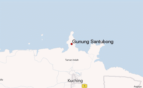
Gunung Santubong guide
- Elevation: 810 m
- Difficulty: Walk up
- Best months to climb: February, March, April, August, September, October
- Convenient center: Kuching
Gunung Santubong Climbing Notes
Click here to submit your own climbing note for Gunung Santubong |
| Select a
mountain summit from the menu |
||
|
Select a Mountain Summit
|
||
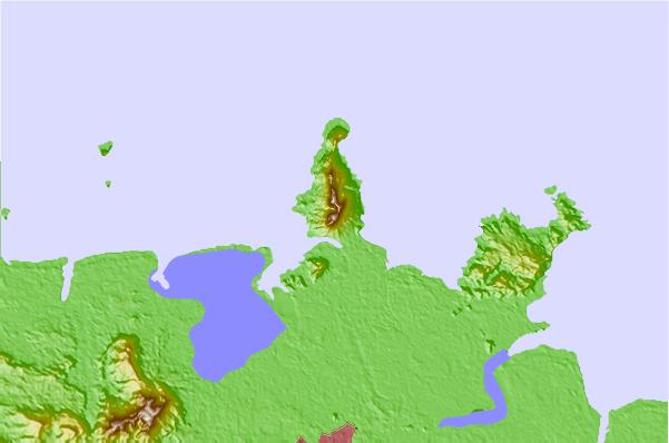
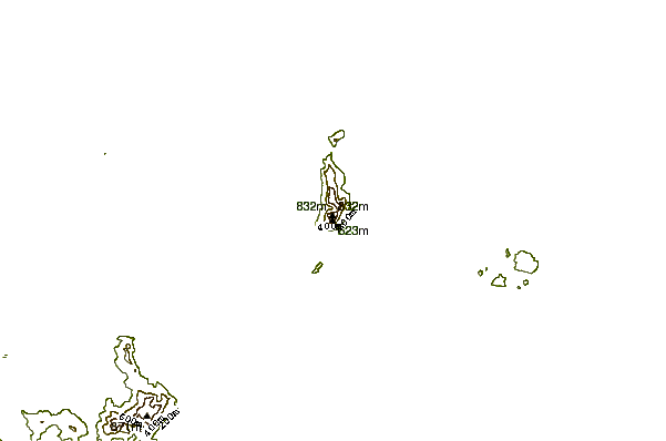
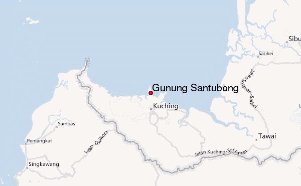
Use this relief map to navigate to mountain peaks in the area of Gunung Santubong.
10 other mountain peaks closest to Gunung Santubong:
| 1. | Mount Rumput (1590 m) | 74.1 km |
| 2. | Mount Lawit (1767 m) | 295.4 km |
| 3. | Mount Dulit (1311 m) | 460.2 km |
| 4. | Bukit Batu Bujang Pahang (70 m) | 566.4 km |
| 5. | Gunung Api (1750 m) | 571.0 km |
| 6. | Gunung Mulu (2376 m) | 572.6 km |
| 7. | Mount Benarat (1585 m) | 576.1 km |
| 8. | Mount Murud Sarawak (2423 m) | 607.3 km |
| 9. | Bukit Batu Lawi (2046 m) | 609.5 km |
| 10. | Bukit Pagon (1850 m) | 624.8 km |

