MTmountainmover from UNITED STATES writes:
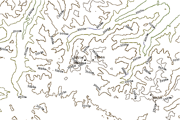
MTmountainmover...as of July 17, 2013, there is plenty of water on the FTD plateau all the way, and all along the way to, the last shelters right before the descent to the triangle. The goats are NOT shy. Watch your back if you camp at the last shelters!! Snow bridge is about 40 yards across, once again 7/17/13,with an additional 25 yards right before the bridge itself. You do not want to get caught on that rock in a storm. Getting home alive, not to the top, should be your goal. From top camp to summit, then back to camp took us 6 hours. Then 4.5 hours across the ftd plateau, down the switchbacks from heaven, to the car at west rosebud parking lot. Hope this helps someone.
2013-07-17 |
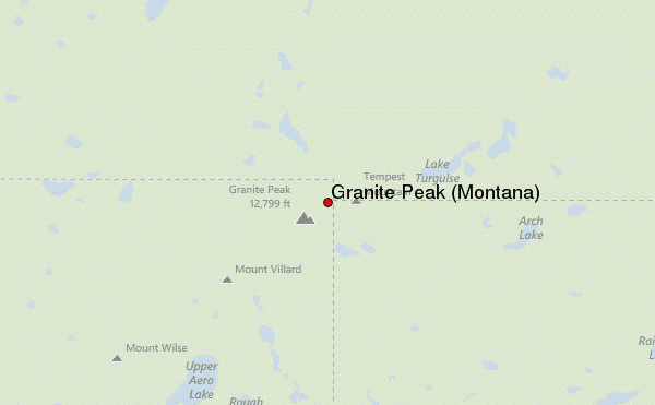
 Granite Peak (Montana) – Climbing, Hiking & Mountaineering information

 Like us
 Follow us
