– Lat/Long: 57.48° N 5.38° W
 Fuar Tholl – Climbing, Hiking & Mountaineering information
Fuar Tholl – Climbing, Hiking & Mountaineering information
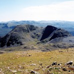
Fuar Tholl mountain guide
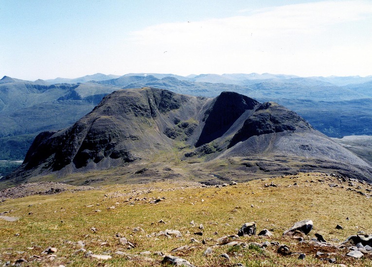
- Elevation: 907 m
- Difficulty:
- Best months to climb:
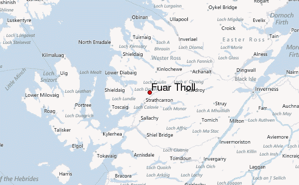
- Convenient center:
Fuar Tholl Climbing NotesBe the first to submit your climbing note! Please submit any useful information about climbing Fuar Tholl that may be useful to other climbers. Consider things such as access and accommodation at the base of Fuar Tholl, as well as the logistics of climbing to the summit. |
| Select a
mountain summit from the menu |
||
|
Select a Mountain Summit
|
||
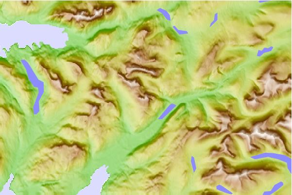
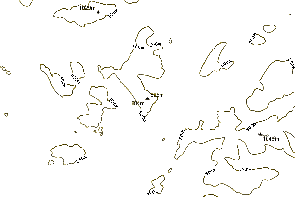
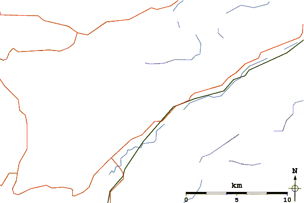
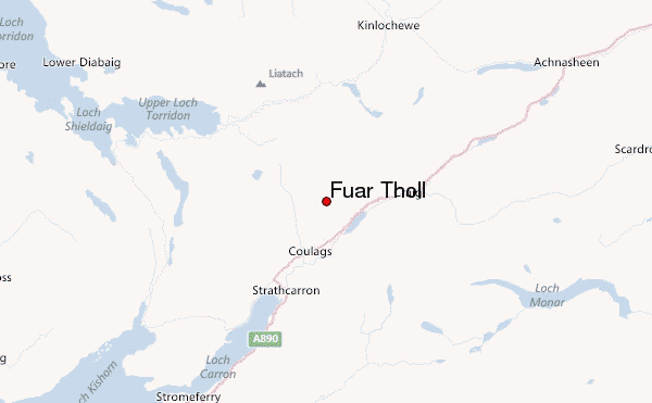
Use this relief map to navigate to mountain peaks in the area of Fuar Tholl.
10 other mountain peaks closest to Fuar Tholl:
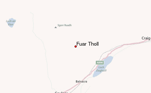
| 1. | Sgorr Ruadh (962 m) | 2.3 km |
| 2. | Beinn Liath Mhòr (926 m) | 3.2 km |
| 3. | Maol Cheann-dearg (933 m) | 5.2 km |
| 4. | An Ruadh-stac (892 m) | 5.4 km |
| 5. | Beinn Damh (903 m) | 8.3 km |
| 6. | Liathac (1053 m) | 10.1 km |
| 7. | Sgurr Choinnich (999 m) | 11.0 km |
| 8. | Sgurr nan Ceannaichean (913 m) | 11.3 km |
| 9. | Beinn Eighe (1010 m) | 12.6 km |
| 10. | Mòruisg (928 m) | 12.7 km |
 Like us
 Follow us
