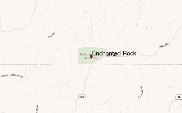
– Lat/Long: 30.51° N 98.82° W
 Enchanted Rock – Climbing, Hiking & Mountaineering information

Enchanted Rock Guide
- Elevation: 556
- Difficulty: Walk up
- Best months to climb: February, April, May, September, October, November
- Convenient center: Fredericksburg
Enchanted Rock climbers NotesBe the first to submit your climbers note! Please submit any useful information about climbing Enchanted Rock that may be useful to other climbers. Consider things such as access and accommodation at the base of Enchanted Rock, as well as the logistics of climbing to the summit. |

| Select a
mountain summit from the menu |
||
|
Select a Mountain Summit
|
||
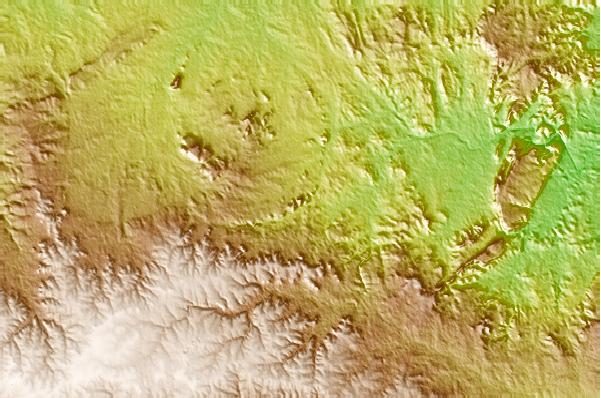
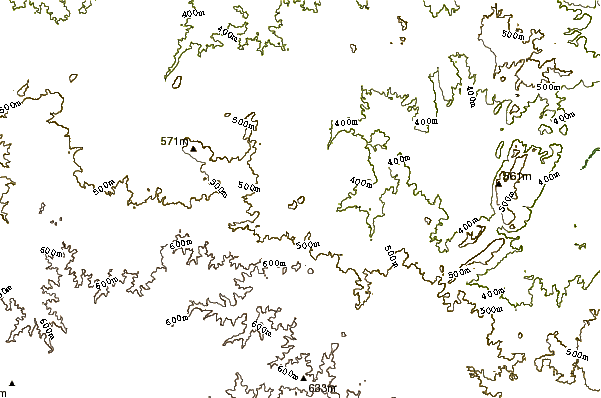
Use this relief map to navigate to mountain peaks in the area of Enchanted Rock.
10 other mountain peaks closest to Enchanted Rock:
| 1. | Packsaddle Mountain (Llano County, Texas) (496 m) | 32.4 km |
| 2. | Station Mountain Bike Park (404 m) | 46.8 km |
| 3. | Granite Mountain (Texas) (294 m) | 50.5 km |
| 4. | Spy Rock (Mason County, Texas) (533 m) | 53.8 km |
| 5. | Flat Rock Ranch (586 m) | 54.2 km |
| 6. | Spider Mountain Bike Park (435 m) | 58.8 km |
| 7. | Seguin Mountain Bike Skills Park (165 m) | 133.1 km |
| 8. | Rocky Hill Ranch (149 m) | 170.1 km |
| 9. | Bluff Creek Ranch (119 m) | 190.9 km |
| 10. | Palo Pinto Mountains (448 m) | 240.3 km |