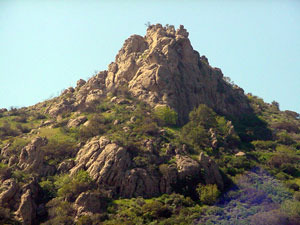
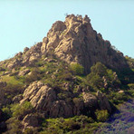
El Escorpión Park mountain guide
- Elevation: 450 m
- Difficulty:
- Best months to climb:
- Convenient center:
El Escorpión Park Climbing Notes
NPHighview from UNITED STATES writes:
El Escorpion Peak can be accessed directly from the neighborhood below, or via a trail that runs along Bell Canyon Road, or via a trail off of Vanowen at Valley Circle. The latter trail goes up the valley past the Cave of the Munits (or Shaman's Cave), and up the ridge line above and behind the cave to the peak.
A hike up to the peak and back down to the valley floor makes for a 3 1/2 mile out-and-back, but entails at least class 3 rock climbing at the peak.
2016-02-12 |
Click here to read 1 more climbing note for El Escorpión Park or submit your own
|
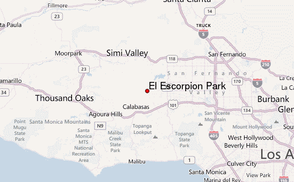
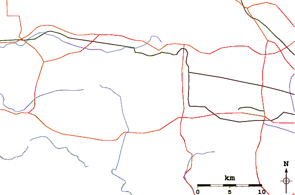
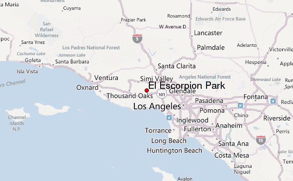
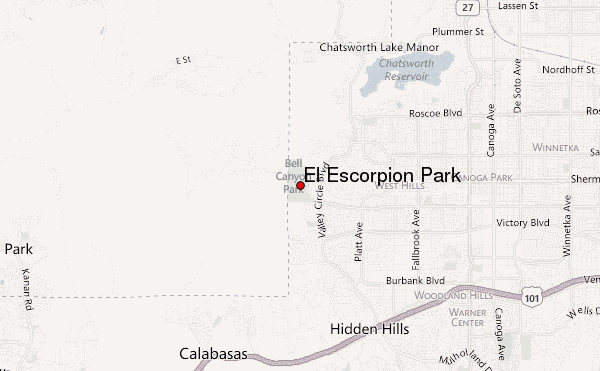
Select El Escorpión Park Location Map Detail:
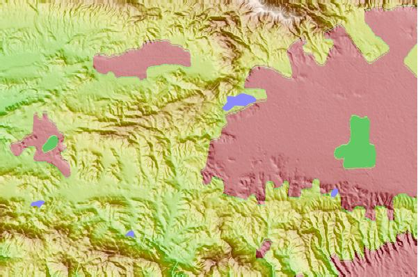
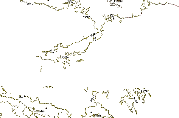
Use this relief map to navigate to mountain peaks in the area of El Escorpión Park.
10 other mountain peaks closest to El Escorpión Park:
 El Escorpión Park – Climbing, Hiking & Mountaineering information
 Like us
 Follow us
