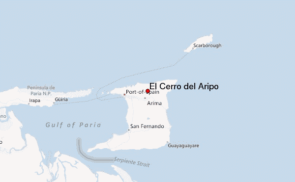
El Cerro del Aripo mountain guide
- Elevation: 940 m
- Difficulty:
- Best months to climb:
- Convenient center:
El Cerro del Aripo Climbing Notes
Cyrus D Virus from TRINIDAD AND TOBAGO writes:
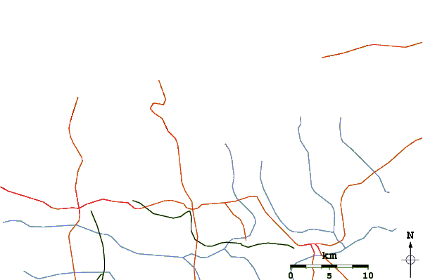
It starts at the end of La Laha Road, which is a road off the Arima-Blanchissuse Road. Closest town is Arima and it takes approximately 30 minutes drive to the start of the trail from Arima.
The trek is about 3 hours one way.
The best time to climb to the summit is the months of January to April (rains the least these months)
2011-10-09 |
Click here to submit your own climbing note for El Cerro del Aripo
|

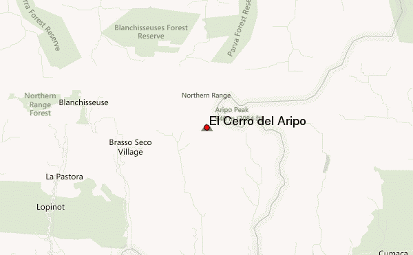
Select El Cerro del Aripo Location Map Detail:
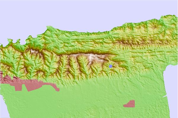
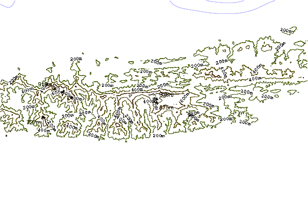
Use this relief map to navigate to mountain peaks in the area of El Cerro del Aripo.
10 other mountain peaks closest to El Cerro del Aripo:
 El Cerro del Aripo – Climbing, Hiking & Mountaineering information
 Like us
 Follow us
