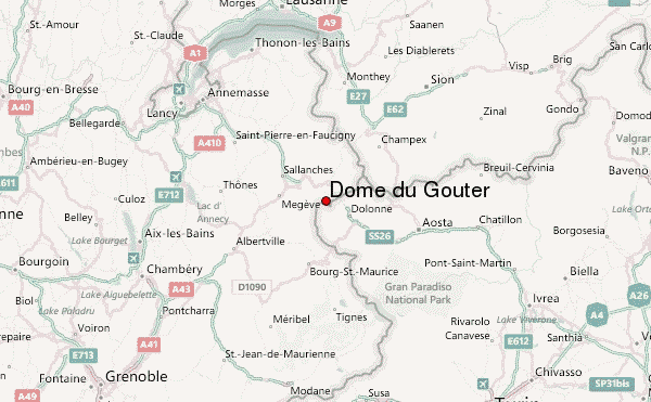
– Lat/Long: 45.84° N 6.84° E
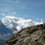
 Dôme du Goûter – Climbing, Hiking & Mountaineering information
Dôme du Goûter – Climbing, Hiking & Mountaineering information
Dôme du Goûter mountain guide
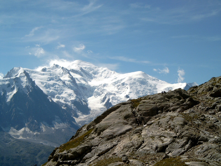
- Elevation: 4304 m
- Difficulty:
- Best months to climb:
- Convenient center:
Dôme du Goûter Climbing NotesBe the first to submit your climbing note! Please submit any useful information about climbing Dôme du Goûter that may be useful to other climbers. Consider things such as access and accommodation at the base of Dôme du Goûter, as well as the logistics of climbing to the summit. |

| Select a
mountain summit from the menu |
||
|
Select a Mountain Summit
|
||
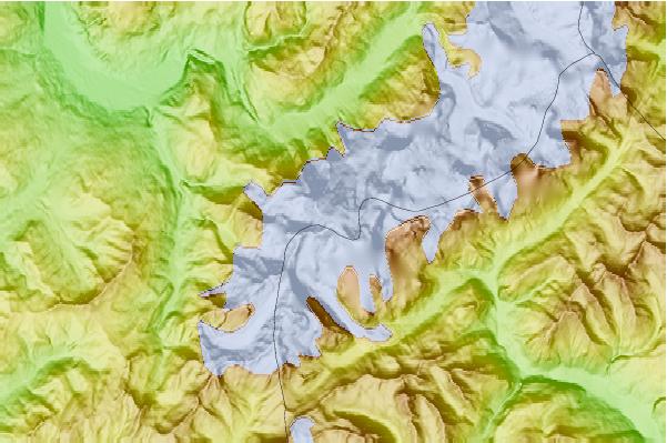
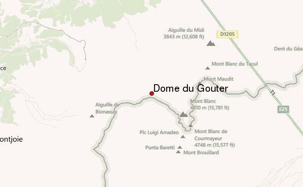
Use this relief map to navigate to mountain peaks in the area of Dôme du Goûter.
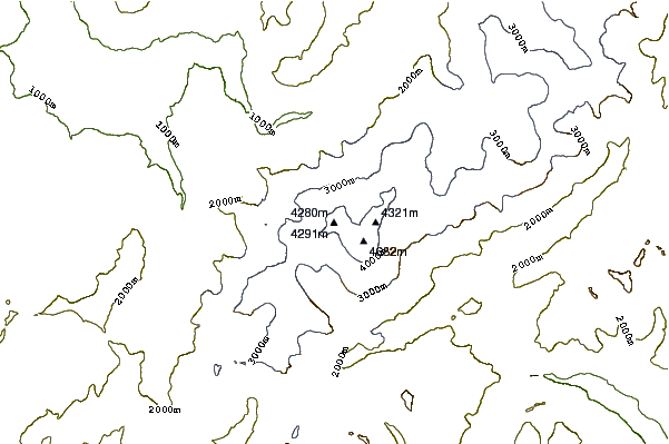
10 other mountain peaks closest to Dôme du Goûter:
| 1. | Pointe Bayeux (4258 m) | 0.3 km |
| 2. | Aiguille de Bionnassay (4052 m) | 2.1 km |
| 3. | Mont Blanc de Courmayeur (4748 m) | 2.6 km |
| 4. | Picco Luigi Amedeo (4469 m) | 2.9 km |
| 5. | Mont-blanc Du Tacul (4248 m) | 3.2 km |
| 6. | Mont Maudit (4465 m) | 3.2 km |
| 7. | Mont Brouillard (4069 m) | 3.3 km |
| 8. | Grand Pilier d'Angle (4243 m) | 3.3 km |
| 9. | Pic Eccles (4041 m) | 3.4 km |
| 10. | Punta Baretti (4013 m) | 3.6 km |
 Like us
 Follow us
