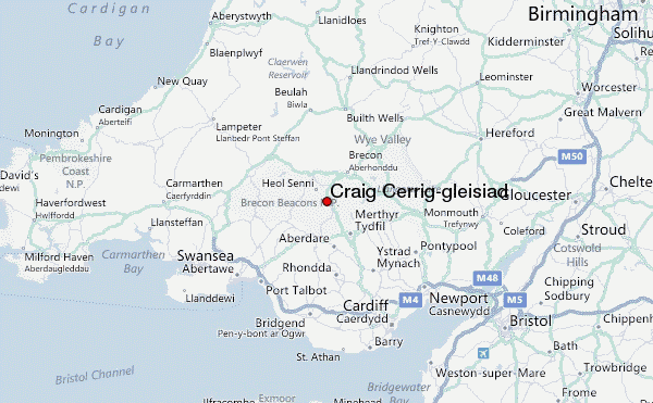
– Lat/Long: 51.86° N 3.50° W
 Craig Cerrig-gleisiad – Climbing, Hiking & Mountaineering information
Craig Cerrig-gleisiad – Climbing, Hiking & Mountaineering information
Craig Cerrig-gleisiad mountain guide
- Elevation: 629 m
- Difficulty:
- Best months to climb:
- Convenient center:
Craig Cerrig-gleisiad Climbing NotesBe the first to submit your climbing note! Please submit any useful information about climbing Craig Cerrig-gleisiad that may be useful to other climbers. Consider things such as access and accommodation at the base of Craig Cerrig-gleisiad, as well as the logistics of climbing to the summit. |

| Select a
mountain summit from the menu |
||
|
Select a Mountain Summit
|
||
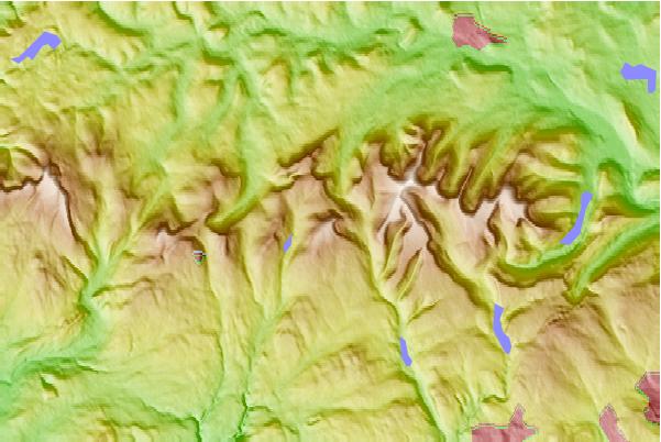
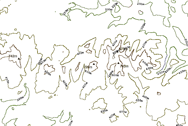
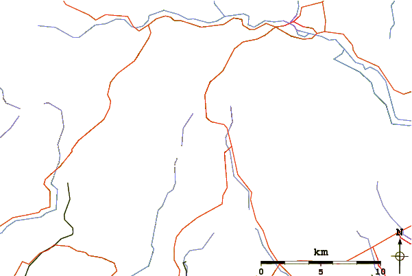
Use this relief map to navigate to mountain peaks in the area of Craig Cerrig-gleisiad.
10 other mountain peaks closest to Craig Cerrig-gleisiad:
| 1. | Fan Frynych (629 m) | 0.0 km |
| 2. | Fan Fawr (734 m) | 0.0 km |
| 3. | Fan Llia (632 m) | 3.2 km |
| 4. | Corn Du (873 m) | 4.8 km |
| 5. | Y Gyrn (619 m) | 4.8 km |
| 6. | Pen Y Fan (886 m) | 4.8 km |
| 7. | Fan Nedd (663 m) | 5.6 km |
| 8. | Fan Bwlch Chwyth (603 m) | 6.0 km |
| 9. | Cribyn (795 m) | 6.0 km |
| 10. | Fan y Big (719 m) | 6.9 km |
 Like us
 Follow us
