– Lat/Long: 34.06° S 18.39° E
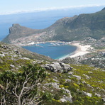
 Constantiaberg – Climbing, Hiking & Mountaineering information

Constantiaberg Guide
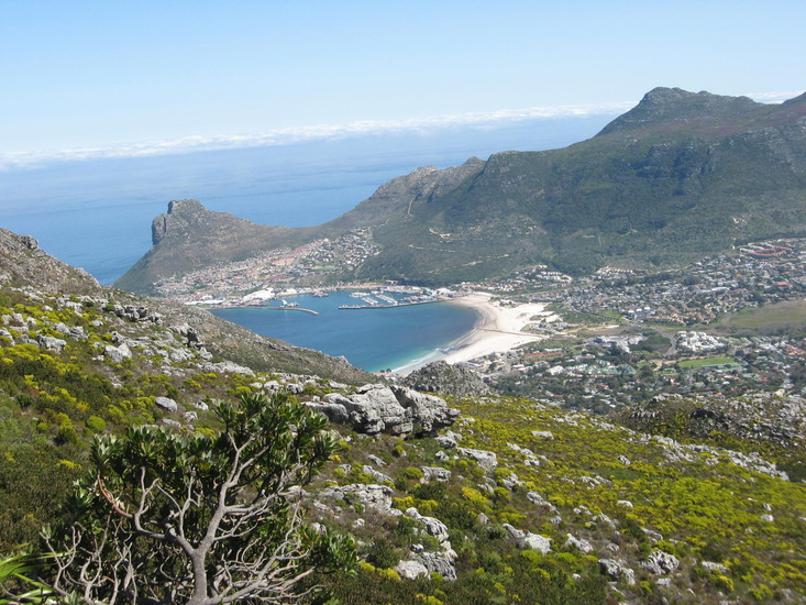
- Elevation: 927
- Difficulty: -
- Best months to climb: -
- Convenient center: -
Constantiaberg climbers Notes
Click here to submit your own climbing note for Constantiaberg |

| Select a
mountain summit from the menu |
||
|
Select a Mountain Summit
|
||
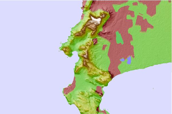
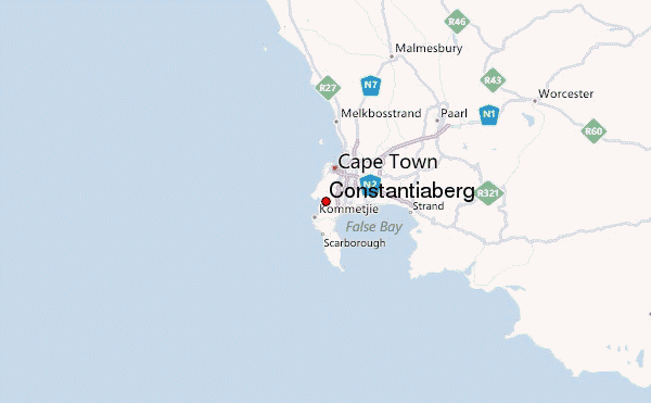
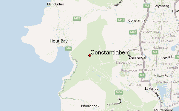
Use this relief map to navigate to mountain peaks in the area of Constantiaberg.
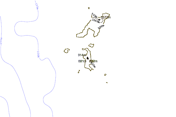
10 other mountain peaks closest to Constantiaberg:
| 1. | Table Mountain (1087 m) | 12.0 km |
| 2. | Lion's Head (670 m) | 13.4 km |
| 3. | Signal Hill (Cape Town) (350 m) | 15.3 km |
| 4. | Devil's Peak (1000 m) | 15.7 km |
| 5. | Helderberg Trails (610 m) | 42.9 km |
| 6. | Paarl Trails - Spice Route (517 m) | 59.0 km |
| 7. | Paarl Trails (716 m) | 61.8 km |
| 8. | Paarl Trails - Rhebokskloof (540 m) | 65.2 km |
| 9. | Groot Wellington Sneeukop (1703 m) | 82.5 km |
| 10. | Groot-Winterhoek Peak (2078 m) | 126.9 km |