Colo (volcano) mountain guide
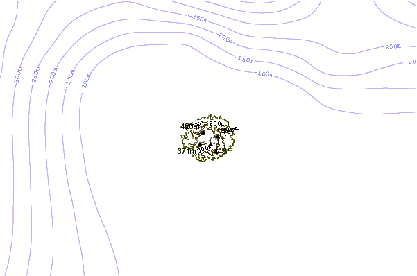
- Elevation: 507 m
- Difficulty:
- Best months to climb:
- Convenient center:
Colo (volcano) Climbing Notes
Andrew Joseph from INDONESIA writes:
I stayed at a guesthouse in Sanctum Una Una. and did a volcano tour with the guide from there.
The owner was really friendly and helpful
They found me 2 guides, It was nice, the guide knows all the way up to the volcano 3 hours up and 3 hours down.
Bring a lot of water and little snack to boost energy. It can be tiring.
Good climbing :)
2015-05-24 |
Click here to submit your own climbing note for Colo (volcano)
|

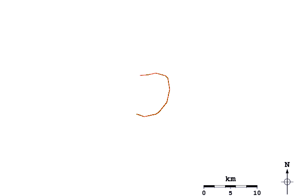
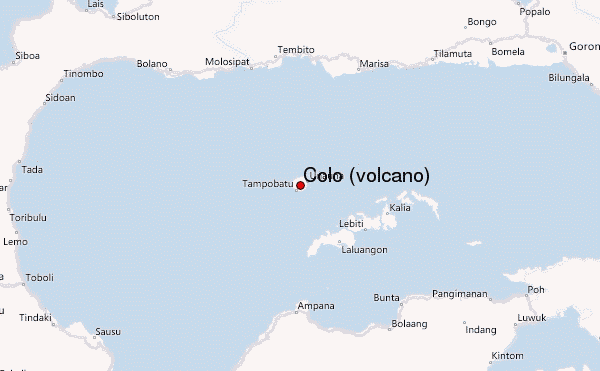
Select Colo (volcano) Location Map Detail:
Use this relief map to navigate to mountain peaks in the area of Colo (volcano).
10 other mountain peaks closest to Colo (volcano):
 Colo (volcano) – Climbing, Hiking & Mountaineering information

 Like us
 Follow us
