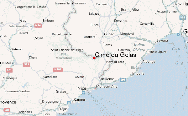
– Lat/Long: 44.12° N 7.39° E
 Cime du Gélas – Climbing, Hiking & Mountaineering information
Cime du Gélas – Climbing, Hiking & Mountaineering information
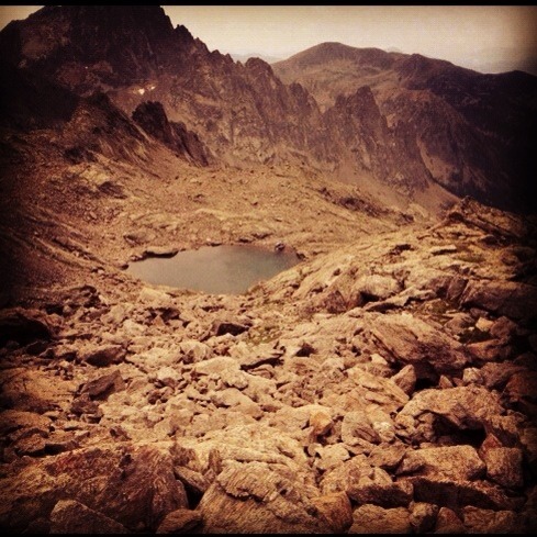
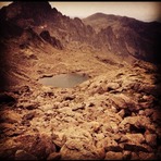
Cime du Gélas mountain guide
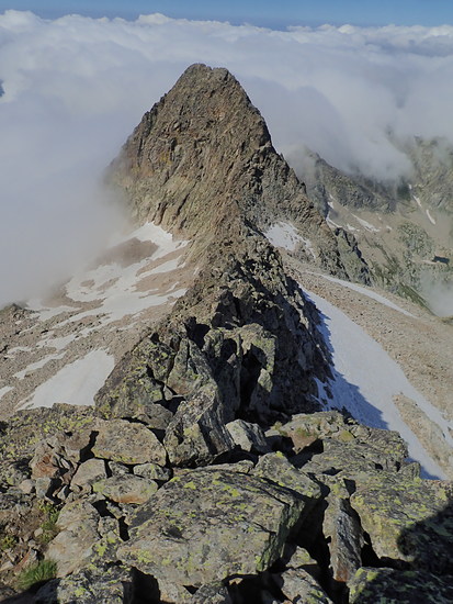
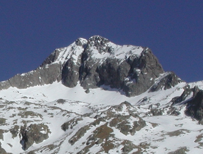
- Elevation: 3143 m
- Difficulty:
- Best months to climb:
- Convenient center:
Cime du Gélas Climbing NotesBe the first to submit your climbing note! Please submit any useful information about climbing Cime du Gélas that may be useful to other climbers. Consider things such as access and accommodation at the base of Cime du Gélas, as well as the logistics of climbing to the summit. |

| Select a
mountain summit from the menu |
||
|
Select a Mountain Summit
|
||
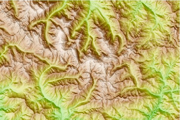
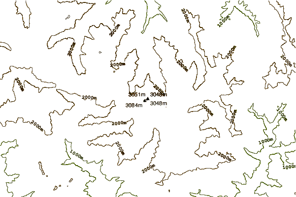
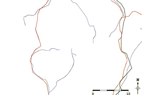
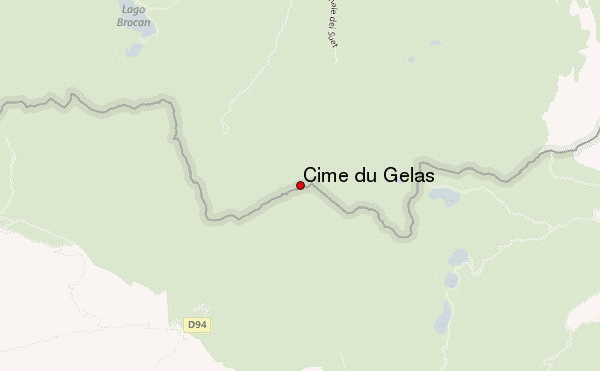
Use this relief map to navigate to mountain peaks in the area of Cime du Gélas.
10 other mountain peaks closest to Cime du Gélas:
| 1. | Mont Clapier (3045 m) | 1.0 km |
| 2. | Mont Bégo (2872 m) | 7.6 km |
| 3. | Argentera (3297 m) | 8.5 km |
| 4. | Monte Matto (3097 m) | 15.5 km |
| 5. | Monte Saccarello (2201 m) | 26.8 km |
| 6. | Monte Colombin (1088 m) | 28.6 km |
| 7. | Monte Frontè (2152 m) | 30.4 km |
| 8. | Rocca la Meja (2831 m) | 32.8 km |
| 9. | Monte Grammondo (1378 m) | 33.0 km |
| 10. | Mont Agel (1148 m) | 39.1 km |
 Like us
 Follow us
