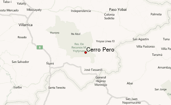
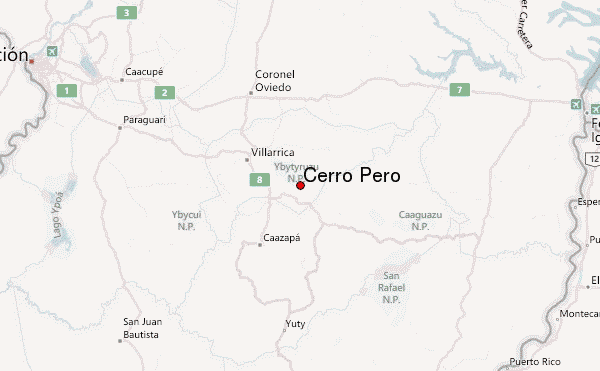
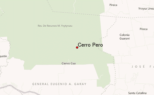
– Lat/Long: 25.90° S 56.16° W
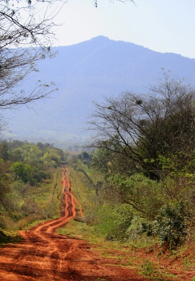
 Cerro Peró – Climbing, Hiking & Mountaineering information
Cerro Peró – Climbing, Hiking & Mountaineering information
Cerro Peró mountain guide
- Elevation: 842 m
- Difficulty:
- Best months to climb:
- Convenient center:
Cerro Peró Climbing NotesBe the first to submit your climbing note! Please submit any useful information about climbing Cerro Peró that may be useful to other climbers. Consider things such as access and accommodation at the base of Cerro Peró, as well as the logistics of climbing to the summit. |
| Select a
mountain summit from the menu |
||
|
Select a Mountain Summit
|
||
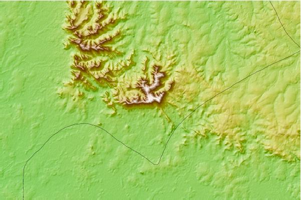
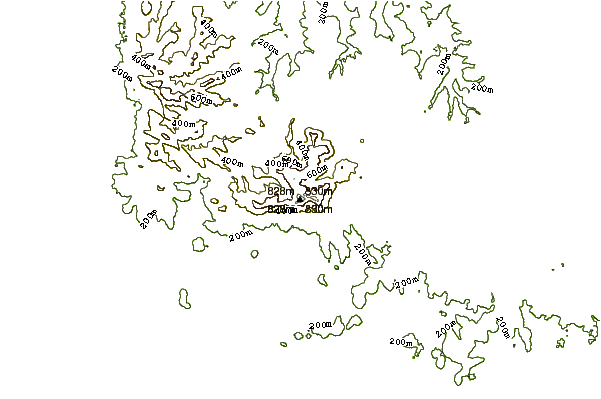
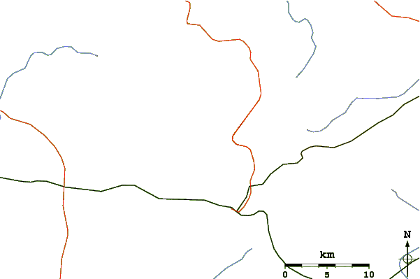
Use this relief map to navigate to mountain peaks in the area of Cerro Peró.
10 other mountain peaks closest to Cerro Peró:
| 1. | Morro do Capão Doce (1340 m) | 480.5 km |
| 2. | Pico do Monte Negro (1398 m) | 697.9 km |
| 3. | Morro da Igreja or Church hill (1822 m) | 705.3 km |
| 4. | Cume Sul (1450 m) | 709.2 km |
| 5. | Morro Comprido (1446 m) | 713.1 km |
| 6. | Morro da Boa Vista (1827 m) | 714.4 km |
| 7. | Pico do Bradador (1520 m) | 722.2 km |
| 8. | Pico Paraná (1877 m) | 741.4 km |
| 9. | Maciço do Urucum (1065 m) | 760.4 km |
| 10. | Cerro Catedral (Uruguay) (514 m) | 954.5 km |
 Like us
 Follow us
