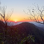
Brasstown Bald mountain guide
- Elevation: 1458 m
- Difficulty: Walk up
- Best months to climb: May, June, July, August, September, October
- Convenient center: Blairsville
Brasstown Bald Climbing Notes
Mark E. P. Woods from UNITED STATES writes:
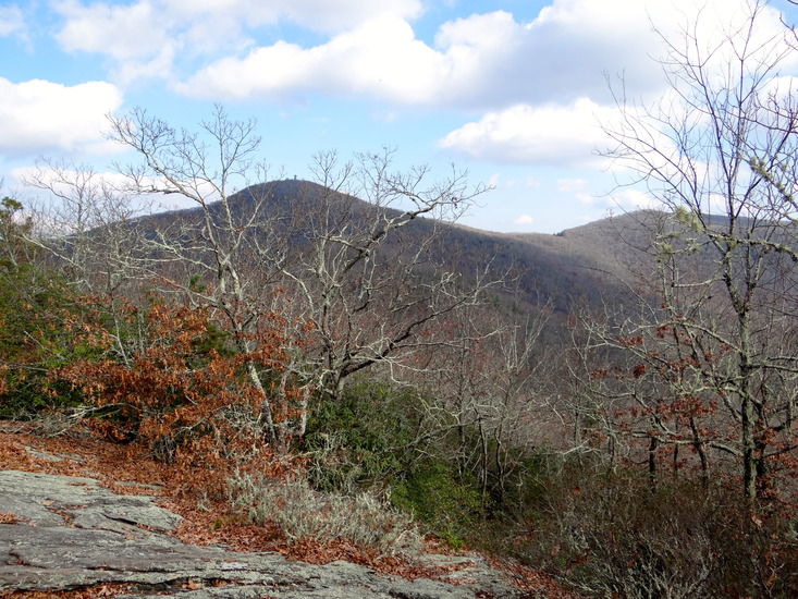
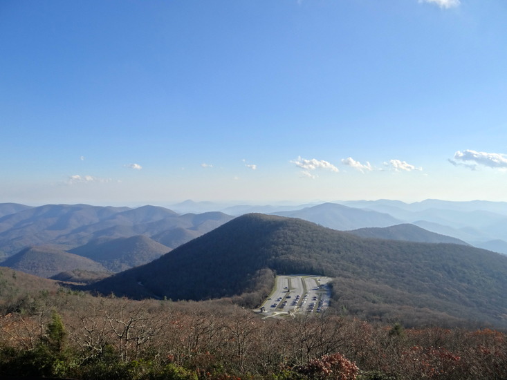
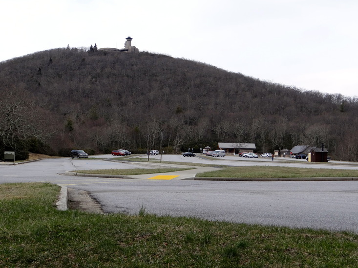
Best climbed via the Arkarqua Trail, from Trackrock Gap to the summit and back. 13.2 miles total. Rather tough day-hike, steep first couple of miles and then a lovely ridge walk to the peak area. Developed public facilities on saddle near peak, paved walkway from parking area the visitors center on peak. Facilities (including bathrooms and water sources) are closed in winter. Great spring just down the trail, piped, issues from behind pump house downslope about 15 meters from trail.
Due to length of round-trip and general difficulty, recommended for experienced and fit hikers only. The high elevation portion nearest the parking area is good all ages family hiking, with little elevation change for 2 miles and good to great views.
2013-03-24 |
Click here to read 3 more climbing notes for Brasstown Bald or submit your own
|
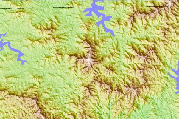
Select Brasstown Bald Location Map Detail:
Use this relief map to navigate to mountain peaks in the area of Brasstown Bald.
10 other mountain peaks closest to Brasstown Bald:
 Brasstown Bald – Climbing, Hiking & Mountaineering information
 Like us
 Follow us
