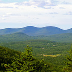
Blackhead (New York) mountain guide
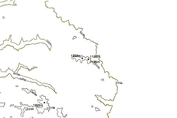
- Elevation: 1204 m
- Difficulty:
- Best months to climb:
- Convenient center:
Blackhead (New York) Climbing Notes
Georg B from UNITED STATES writes:
For a winter climb make sure you bring either yak traks or better yet half crampons, the upper reaches tend to be very icy. We went up 2/18/13 round trip 4 hours including 1/2 h lunch. No significant difficulties. Road to trail head is not maintained park just off the school bus turn around - it's only a short walk to the trail head.
2013-02-21 |
Click here to submit your own climbing note for Blackhead (New York)
|
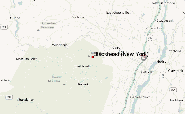
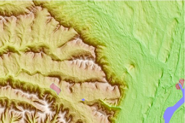
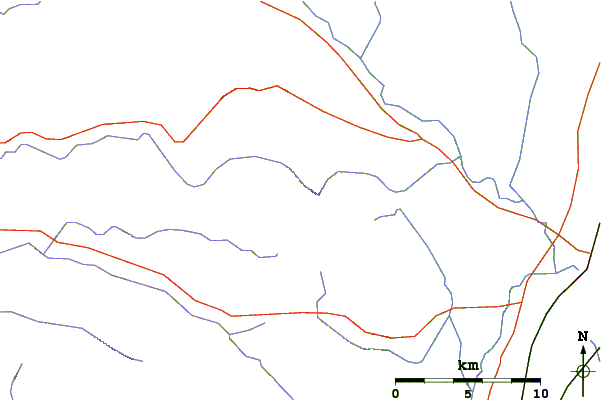
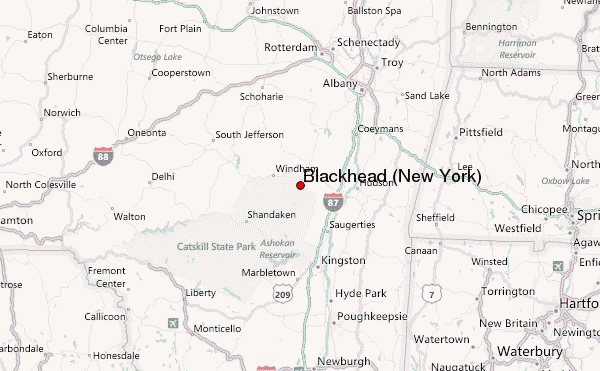
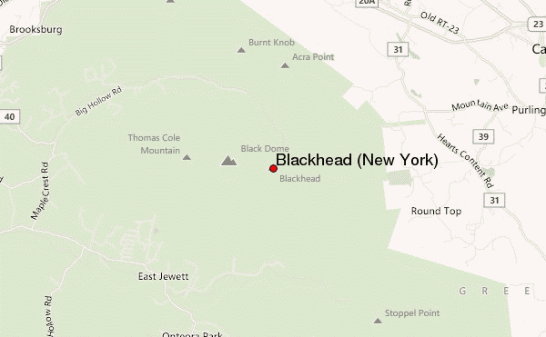
Select Blackhead (New York) Location Map Detail:
Use this relief map to navigate to mountain peaks in the area of Blackhead (New York).
10 other mountain peaks closest to Blackhead (New York):
 Blackhead (New York) – Climbing, Hiking & Mountaineering information

 Like us
 Follow us
