Black Mesa (Oklahoma) Guide
- Elevation: 1737
- Difficulty: -
- Best months to climb: -
- Convenient center: -
Black Mesa (Oklahoma) climbers Notes
robert from UNITED STATES writes:
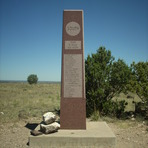
Easy hike which is 8 miles RT. There is a parking area at the trailhead and it is open from sunrise to sunset. There is no water available so make sure you have plenty. At the top, there is a concrete obelisk and an ammo can containing the summit register. This is the Oklahoma highpoint.
2012-02-15 |
Click here to submit your own climbing note for Black Mesa (Oklahoma)
|
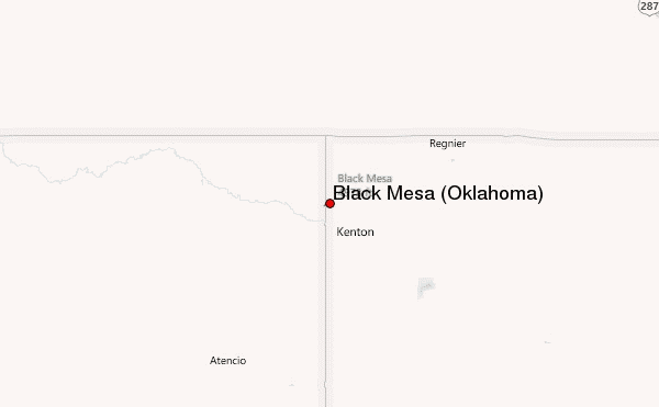
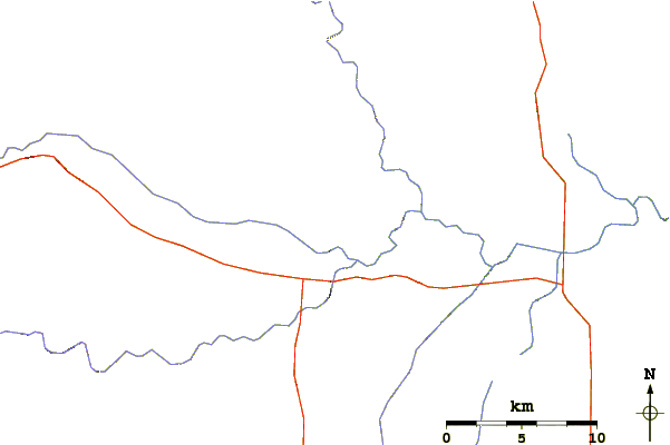
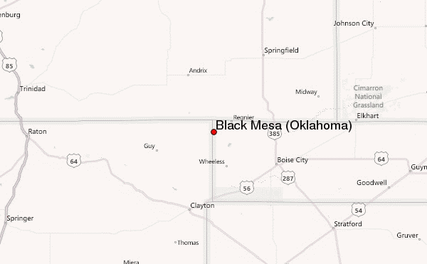
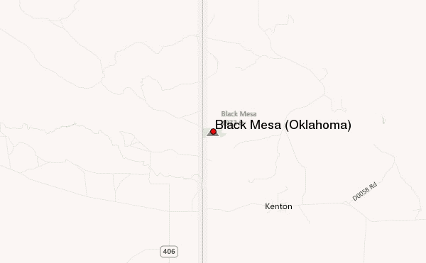
Select Black Mesa (Oklahoma) Location Map Detail:
Use this relief map to navigate to mountain peaks in the area of Black Mesa (Oklahoma).
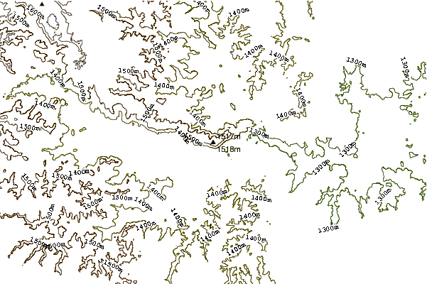
10 other mountain peaks closest to Black Mesa (Oklahoma):
 Black Mesa (Oklahoma) – Climbing, Hiking & Mountaineering information

