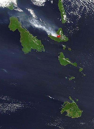
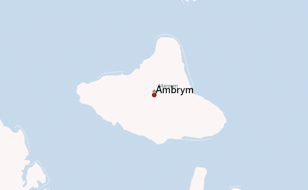
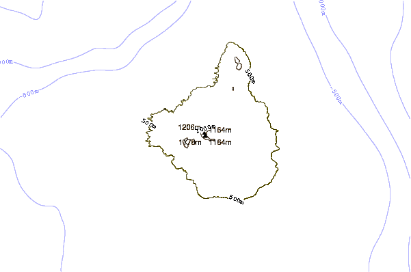
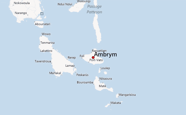
– Lat/Long: 16.25° S 168.12° E
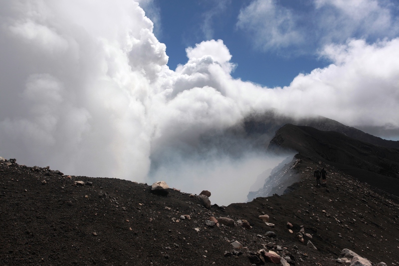
 Ambrym – Climbing, Hiking & Mountaineering information

Ambrym Guide
- Elevation: 1334
- Difficulty: -
- Best months to climb: -
- Convenient center: -
Ambrym climbers NotesBe the first to submit your climbers note! Please submit any useful information about climbing Ambrym that may be useful to other climbers. Consider things such as access and accommodation at the base of Ambrym, as well as the logistics of climbing to the summit. |
| Select a
mountain summit from the menu |
||
|
Select a Mountain Summit
|
||
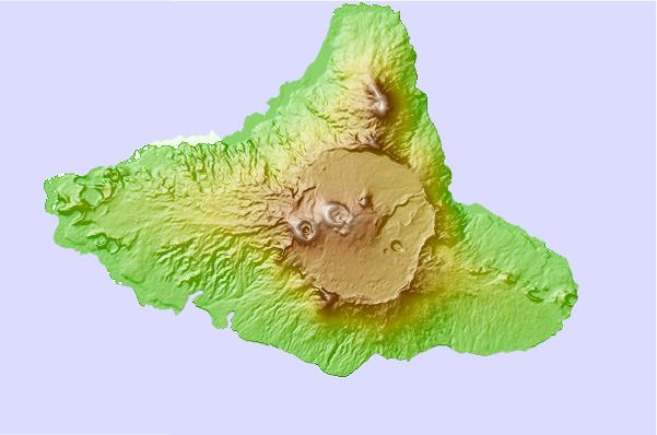
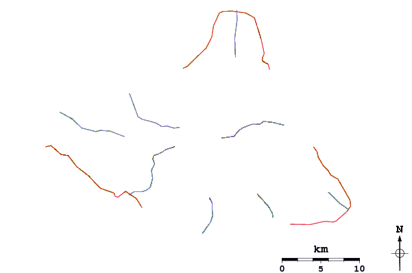
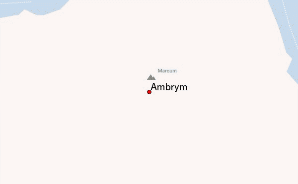
Use this relief map to navigate to mountain peaks in the area of Ambrym.
10 other mountain peaks closest to Ambrym:
| 1. | Lopevi (1413 m) | 37.4 km |
| 2. | Aoba (1496 m) | 99.6 km |
| 3. | Mount Tabwemasana ot Tabwémasana (1879 m) | 185.3 km |
| 4. | Mere Lava (1028 m) | 200.5 km |
| 5. | Mount Gharat (797 m) | 230.5 km |
| 6. | Tukwasmera/Ughen Tukosmeru (914 m) | 363.9 km |
| 7. | Mount Tukosmera (1084 m) | 377.0 km |
| 8. | Mount Yasur (361 m) | 391.0 km |
| 9. | Mount Panie (1628 m) | 594.6 km |
| 10. | Mount Sindoa (1370 m) | 642.2 km |