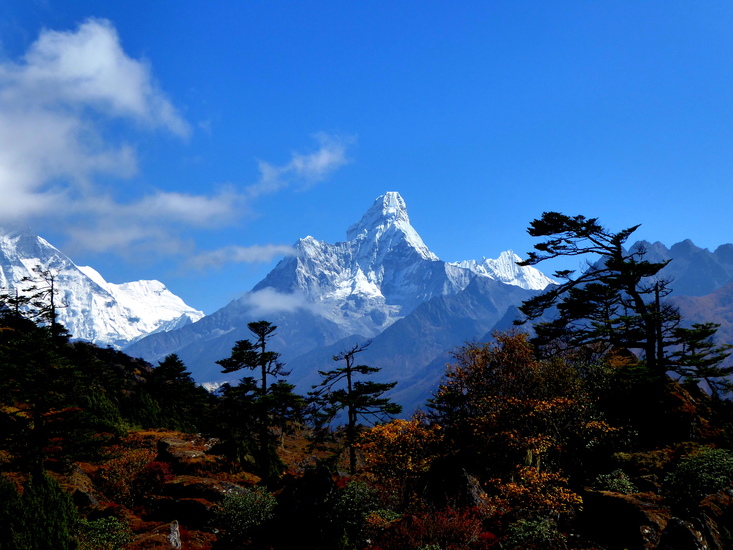
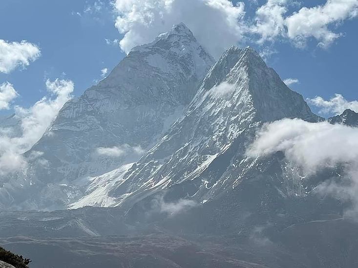
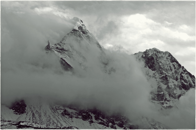
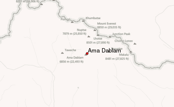
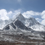
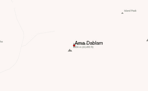
Ama Dablam is one of Nepal’s most iconic and technically demanding peaks, famous for its sharp ridges, exposed climbing, and the hanging “Dablam” glacier that gives the mountain its name. Although not extremely high by Himalayan standards, it is a serious technical climb requiring strong alpine skills and careful logistics.
Access & Approach
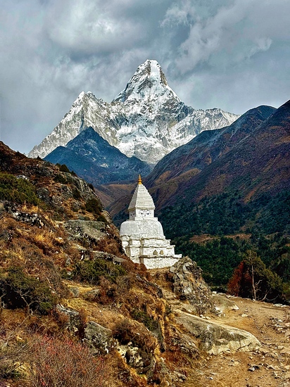
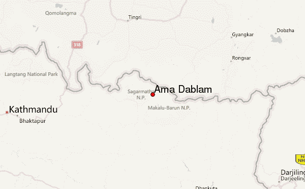
The standard approach begins with a flight from Kathmandu to Lukla, followed by a multi-day trek up the Khumbu Valley. The route passes through well-known Sherpa villages such as Phakding, Namche Bazaar, Tengboche, and Pangboche, where climbers lodge in simple teahouses. Rooms are basic, unheated, and often shared; meals are mostly dal-bhat, noodles, soups, and eggs. Water sources are plentiful but should be filtered or purified.
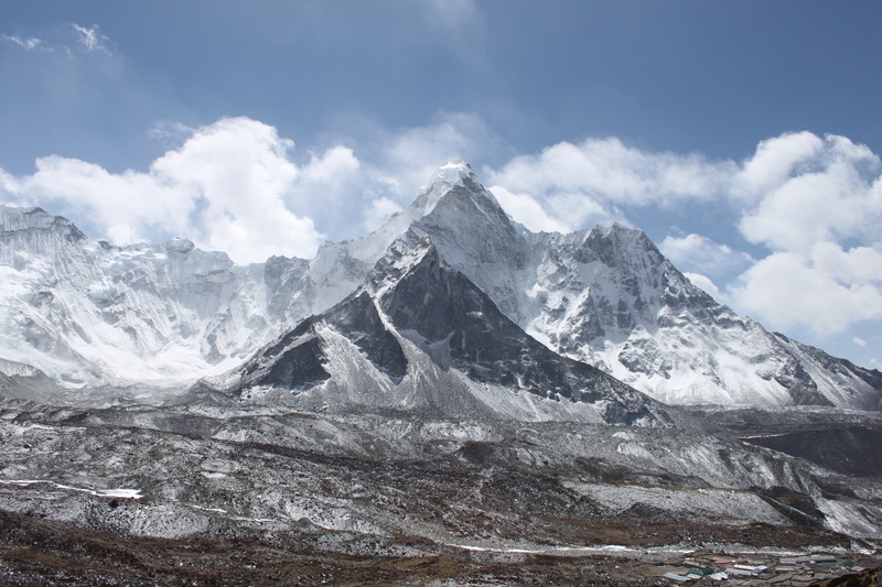
From Pangboche, a short hike leads to Ama Dablam Base Camp (~4,600 m), situated on a grassy plateau with good tent sites and proximity to fresh water. Some operators maintain semi-permanent dining tents and a kitchen setup. Occasional small huts near Base Camp offer meals but are not substitutes for expedition accommodations.
Route & High Camps
The Southwest Ridge is the classic and most commonly climbed route.
Camp I (~5,650 m): Reached by scrambling up steep moraine and rocky ridges. The terrain involves fixed ropes in places and mixed rock/snow.
Camp II (~6,000–6,200 m): Perhaps the most technical part of the climb. Climbers negotiate exposed ridges, rock slabs, and the well-known Yellow Tower, a vertical rock step. Camp space is limited and often crowded.
Camp III (~6,300 m): Set near the Dablam hanging glacier. Steep 50–60° snow and ice slopes lead to camp. Due to serac danger from the glacier, some expeditions skip Camp III and go directly from Camp II to the summit.
Summit Day: The final push involves sustained steep snow/ice (often 60°+), high exposure, and cold temperatures. Summit day typically takes 8–14 hours, depending on weather and whether Camp III is used.
Technical Requirements & Hazards
Ama Dablam is not a trekking peak. Climbers must be proficient with:
crampon and ice-axe use
fixed rope systems (jumaring, rappelling)
mixed rock/ice climbing
moving efficiently on exposed terrain
Objective hazards include rockfall, serac collapse from the hanging glacier, avalanches, and altitude-related illness. Weather can change rapidly, and high camps often have limited water and no shelter beyond tents.
Permits & Logistics
Climbers must obtain:
an Ama Dablam climbing permit
Sagarmatha National Park entry permit
Khumbu Pasang Lhamu municipality permit
Most climbers join a guided expedition for logistical support: base-camp staff, fixed ropes, tents at high camps, meals, Sherpa support, and gear transport via yaks or porters. Independent climbs are possible but require full responsibility for equipment, tents, and route fixing.
Best Practices
Allow generous time for acclimatization, choose a reputable guiding service, bring reliable personal gear (especially boots, harness, and down clothing), and climb only in stable weather windows. Respect local regulations and environmental guidelines—waste management is strictly enforced.
 Ama Dablam – Climbing, Hiking & Mountaineering information


