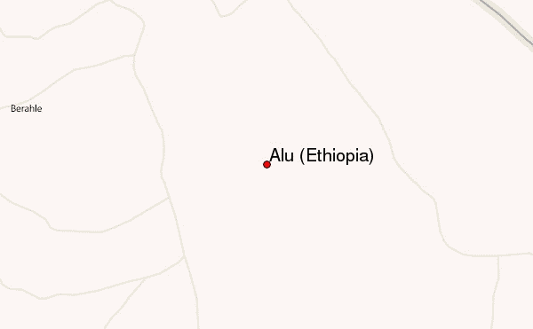
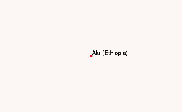
– Lat/Long: 13.82° N 40.55° E
 Alu (Ethiopia) – Climbing, Hiking & Mountaineering information

Alu (Ethiopia) guide
- Elevation: 429 m
- Difficulty:
- Best months to climb:
- Convenient center:
Alu (Ethiopia) Climbing NotesBe the first to submit your climbing note! Please submit any useful information about climbing Alu (Ethiopia) that may be useful to other climbers. Consider things such as access and accommodation at the base of Alu (Ethiopia), as well as the logistics of climbing to the summit. |
| Select a
mountain summit from the menu |
||
|
Select a Mountain Summit
|
||
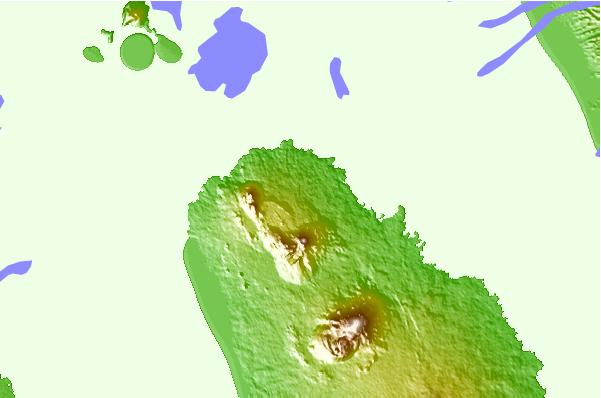

Use this relief map to navigate to mountain peaks in the area of Alu (Ethiopia).
10 other mountain peaks closest to Alu (Ethiopia):
| 1. | Borale Ale (668 m) | 12.4 km |
| 2. | Gada Ale (287 m) | 22.7 km |
| 3. | Erta Ale (613 m) | 28.1 km |
| 4. | Ale Bagu (1031 m) | 35.0 km |
| 5. | Hayli Gubbi (521 m) | 40.6 km |
| 6. | Borawli (812 m) | 74.7 km |
| 7. | Tat Ali (700 m) | 82.7 km |
| 8. | Afdera (1295 m) | 89.0 km |
| 9. | Ma Alalta (1815 m) | 97.3 km |
| 10. | Alid Volcano (904 m) | 99.7 km |