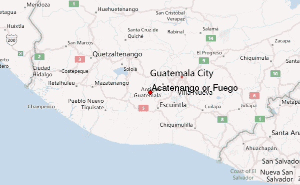
Acatenango or Fuego mountain guide
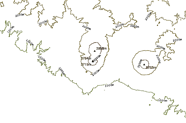
- Elevation: 3976 m
- Difficulty: Walk up
- Best months to climb: January, February, October, November, December
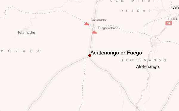
- Convenient center: La Soledad, Chimaltenango
Acatenango or Fuego Climbing Notes
aniya washington(age10) from UNITED STATES writes:
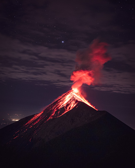
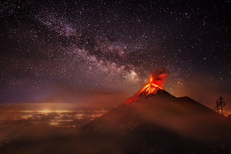
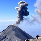
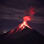
-They erupt explosively, blowing out burning ashes and cinders.
-the ashes and cinders build up to form the cone shape.
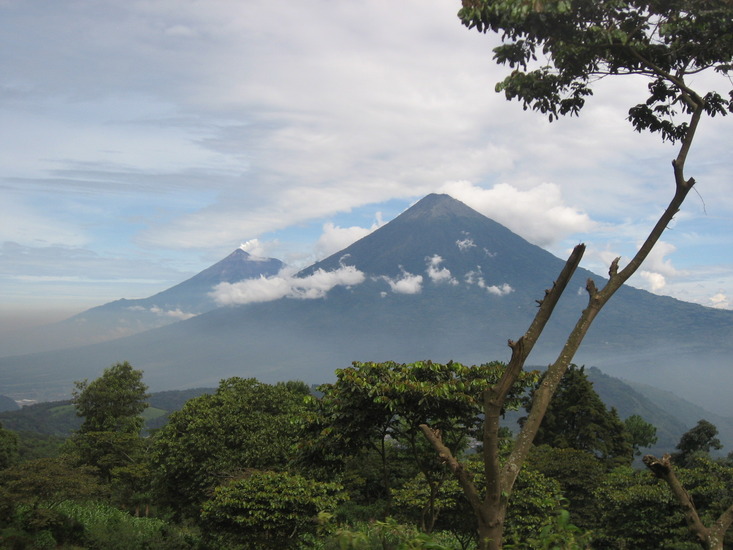
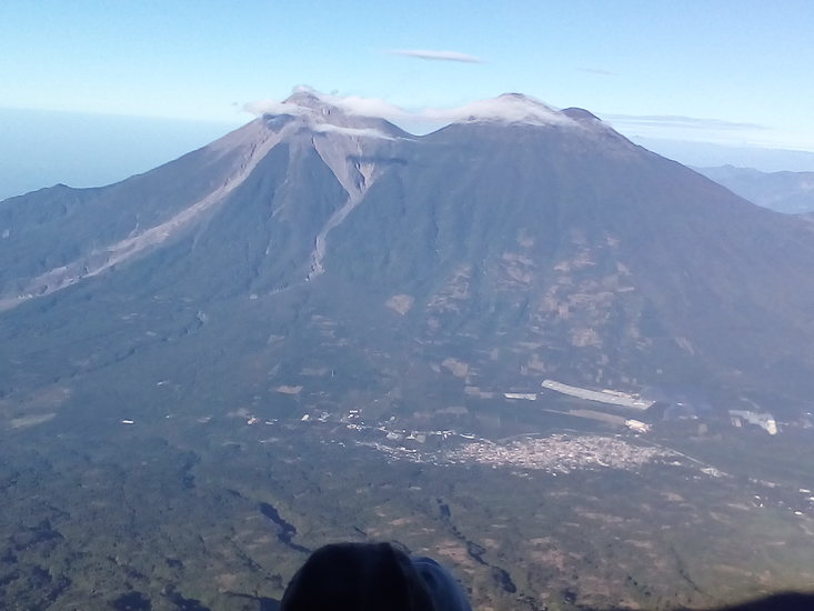
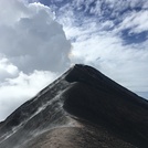
-Acatenango, has twin volcanoes with it.
-Fuego, one of Central America's most active volcanoes, is one of the three large stratovolcanoes over looking Guatemala's former capital,Antigua.
-it typically has strombolian activity and sometimes phrases of intense lava fountaining, producing tall ash plumes and dangerous pyroclastic flows.
-Dominantly explosive, construction of lava domes and extrusion of viscous lava flows. In near constant activity, at least during the past centuries.
2014-10-17 |
Click here to submit your own climbing note for Acatenango or Fuego
|
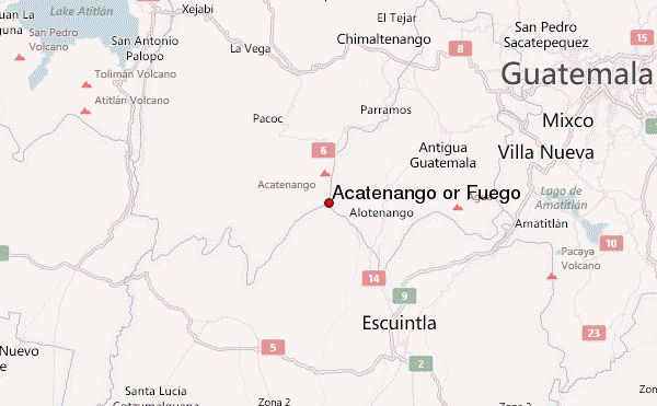
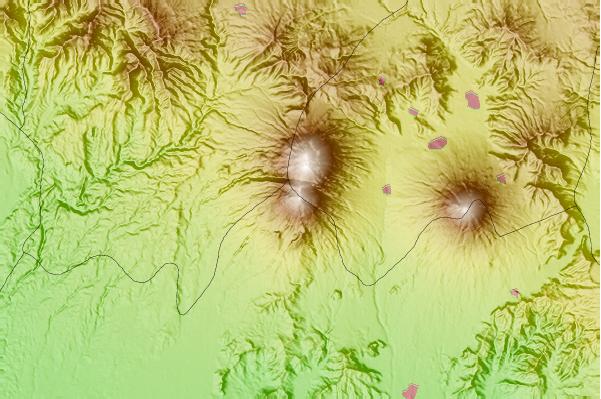
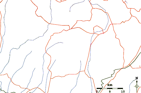
Select Acatenango or Fuego Location Map Detail:
Use this relief map to navigate to mountain peaks in the area of Acatenango or Fuego.
10 other mountain peaks closest to Acatenango or Fuego:
 Acatenango or Fuego – Climbing, Hiking & Mountaineering information
 Like us
 Follow us
