Other types of maps
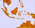
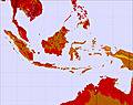
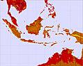
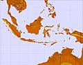
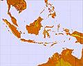
Monday 06 May 1am
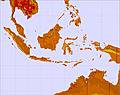
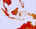
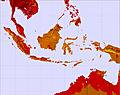
Monday 06 May 7am
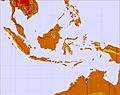
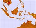
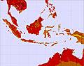
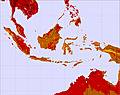
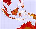
Monday 06 May 1pm
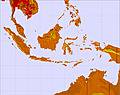
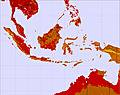
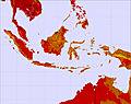
Monday 06 May 7pm
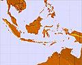
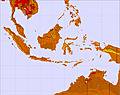
Tuesday 07 May 1am
Tuesday 07 May 7am
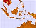
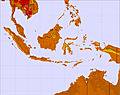
Tuesday 07 May 1pm
Tuesday 07 May 7pm
Wednesday 08 May 1am
Wednesday 08 May 7am
Wednesday 08 May 1pm
Wednesday 08 May 7pm
Thursday 09 May 1am
Thursday 09 May 7am
Thursday 09 May 1pm
Thursday 09 May 7pm
Friday 10 May 1am
Friday 10 May 7am
Friday 10 May 1pm
Friday 10 May 7pm
Saturday 11 May 1am
Saturday 11 May 7am
Saturday 11 May 1pm
Saturday 11 May 7pm
Sunday 12 May 1am
Sunday 12 May 7am
Sunday 12 May 1pm
Sunday 12 May 7pm


 Like us
 Follow us
