Winter hiking San G safety tips:
I just posted hike notes from the other day. What I did not include was that a strong member of the group I hiked with, who stayed with me the entire time as this was my first snow hike, is a Search & Rescue volunteer and highly trained. He corroborated some safety tips to share.
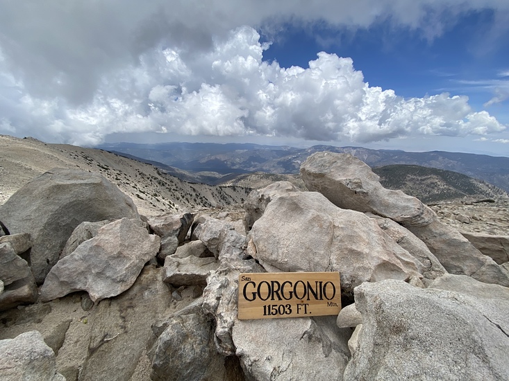
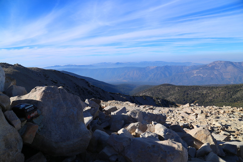
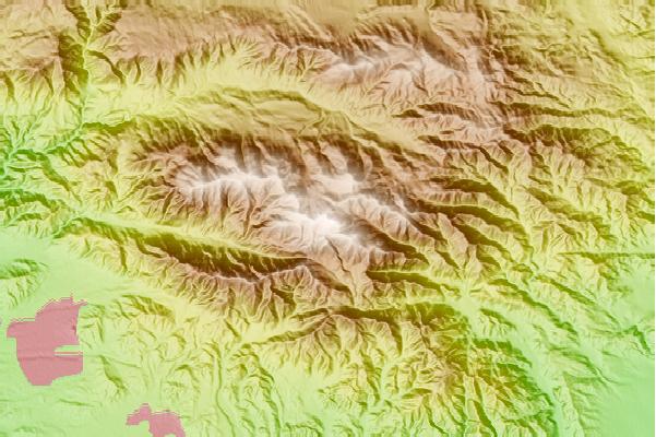
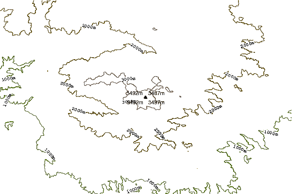
First of all, he said he does not get all that many calls for San G, as most people who come here know this is a big mountain that can get big weather and has serious elevation. That does not mean no calls though and not that this is an easy peasy hike, just that people typically come prepared and knowledgeable.
So, here are some tips to have a fun, enjoyable, and safe hike:
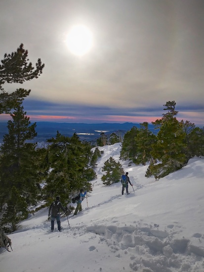
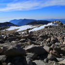
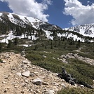
- Winter hiking is slower and harder than normal. Significantly harder if you are trudging up ridges in knee deep snow, above 9000 feet! Add a couple hours to time estimates, and be mindful of dropping temps in afternoon aiding ice formation.
- I called it a mile from summit around 1:30/2 as winds cranking and was concerned about hiking back in dark and wanted to get down to lower elev before sunset/potential icing. I normally move fast downhill but not in snow/ice. We still had to hike 1-1.5 hrs with headlamps and were lucky temps still a bit above freezing so road out hadn't iced over hard yet.
- Ensure you have an emergency bivvy or such and adequate fire starting materials, in case you have to stay overnight unplanned.
- ALWAYS stay with a buddy! This is good anytime and esp with the challenges of winter! Even if you get to Halfway Camp and your friend gets AMS, the mountain will still be there and do NOT take off to peak and leave friend behind. My SAR hike partner told me many stories of both rescue - and sadly recovery - missions when this has happened; it is serious.
- Plan on possible increased food and water consumption due to higher calorie burn in snow.
- Be mindful of shorter daylight and dropping temps in afternoon that can cause the nice slush to turn to ice and black ice, which btw headlamps do not "see" well.
- The upper parking lot is closed for the season, and the "road" to the lower lot is like walking the creek itself without a trail now, so plan on extra mileage and time getting back to your car. Also, the upper parking bathrooms are locked.
- Bring poles and an ice axe, as well as waterproof shoes, crampons, micro spikes, and waterproof jacket and pants/snow gaiters. Windproof stuff and warm fleece layers and beanie - break out your ski/snowboard clothes - will prove very useful on the higher elevations and in the snow!
- San G is remote and BIG, another reason to stay on the trails as much as possible. Cell service spotty. Strongly consider investing in a SPOT or ResQLink type emergency device and a GPS tracker to ensure you stay on track in the snow.
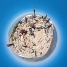
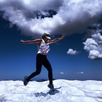
Hiking in winter is amazingly beautiful but was way harder for me than the other dry day hikes I've done. The mountain demands even more respect.
Be mindful and safe and remember, the mountain isn't going anywhere, and you do want to be able to go home safe and sound after your hike!
Happy hiking!
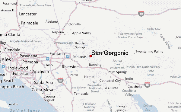
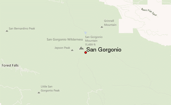
 San Gorgonio – Climbing, Hiking & Mountaineering information

 Like us
 Follow us
