– Lat/Long: 45.00° N 6.28° E
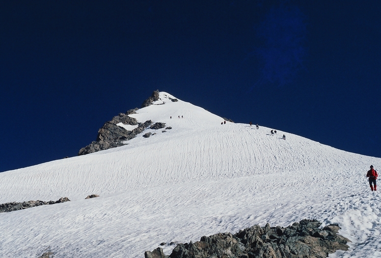
 Le Râteau
Weather Forecast, FranceIssued: 1 am Tue 16 Apr Local TimeUpdates in: hr min sUpdate imminent
Le RâteauWeather Forecast, France
Issued: 1 am Tue 16 Apr Local Time
Updates in:
Update imminent hr min s

Issued: 1 am Tue 16 Apr Local Time
Updates in:
Update imminent hr min s
Days 1–3 Weather SummaryA light covering of new snow mostly falling on Wed morning. Extremely cold (max -12°C on Tue morning, min -19°C on Thu morning). Winds decreasing (strong winds from the NW on Tue afternoon, light winds from the NNW by Thu afternoon). | Days 4–6 Weather SummaryA dusting of new snow. Extremely cold (max -12°C on Fri night, min -15°C on Sun afternoon). Winds decreasing (strong winds from the NNW on Fri night, moderate winds from the N by Sun afternoon). | |||||||||||||||||
Tuesday 16 | Wednesday 17 | Thursday 18 | Friday 19 | Saturday 20 | Sunday 21 | |||||||||||||
AM | PM | night | AM | PM | night | AM | PM | night | AM | PM | night | AM | PM | night | AM | PM | night | |
clear | clear | clear | snow shwrs | clear | snow shwrs | snow shwrs | snow shwrs | clear | clear | clear | snow shwrs | snow shwrs | clear | clear | clear | clear | clear | |
km/h | ||||||||||||||||||
Wave Height Map |  |  |  |  |  |  | ||||||||||||
— | — | — | 2.0 | — | 1.0 | 2.0 | 1.0 | — | — | — | 1.0 | 1.0 | — | — | — | — | — | |
— | — | — | — | — | — | — | — | — | — | — | — | — | — | — | — | — | — | |
max°C | -12 | -13 | -15 | -16 | -15 | -16 | -18 | -19 | -15 | -13 | -13 | -12 | -14 | -13 | -12 | -13 | -15 | -15 |
min°C | -13 | -14 | -16 | -17 | -15 | -18 | -19 | -19 | -19 | -14 | -13 | -14 | -14 | -13 | -13 | -14 | -15 | -15 |
-25 | -26 | -29 | -30 | -28 | -29 | -31 | -30 | -30 | -26 | -23 | -27 | -27 | -25 | -24 | -25 | -25 | -26 | |
1750 | 1850 | 1300 | 1500 | 1650 | 1150 | 1300 | 1300 | 1050 | 1850 | 2000 | 1700 | 1800 | 1900 | 1450 | 1850 | 1850 | 1500 | |
Cloud base (m) | 2300 | 3100 | 2300 | 2300 | 2750 | 2350 | 2300 | 2650 | 2300 | 4450 | 3000 | 2300 | 2300 | 2300 | 2700 | 2300 | ||
6:47 | — | — | 6:46 | — | — | 6:43 | — | — | 6:41 | — | — | 6:41 | — | — | 6:39 | — | — | |
— | — | 8:22 | — | — | 8:22 | — | — | 8:23 | — | — | 8:24 | — | — | 8:27 | — | — | 8:28 | |
Le Râteau Weather (Days 0-3):
The weather forecast for Le Râteau is: A light covering of new snow mostly falling on Wed morning. Extremely cold (max -12°C on Tue morning, min -19°C on Thu morning). Winds decreasing (strong winds from the NW on Tue afternoon, light winds from the NNW by Thu afternoon).
Le Râteau Weather (Days 3-6):
A dusting of new snow. Extremely cold (max -12°C on Fri night, min -15°C on Sun afternoon). Winds decreasing (strong winds from the NNW on Fri night, moderate winds from the N by Sun afternoon).
This table gives the weather forecast for Le Râteau at the specific elevation of 3809 m. Our advanced weather models allow us to provide distinct weather forecasts for several elevations of Le Râteau. To see the weather forecasts for the other elevations, use the tab navigation above the table. For a wider overview of the weather, consult the Weather Map of France.
Le Râteau Photos
View all
Dauphine Alps photos (33) |
Alps photos (1434) |
photos from mountains in France (267) |
all photos
 Upload new photo
Le Râteau
 Like us
 Follow us
