Yainax Butte mountain guide
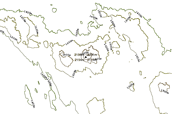
- Elevation: 2198 m
- Difficulty:
- Best months to climb: June, July, August, September, October
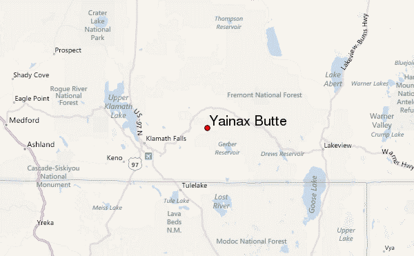
- Convenient center: Klamath Falls, Oregon
Yainax Butte Climbing Notes
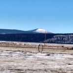
Hans Kuhr from UNITED STATES writes:
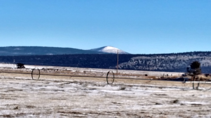
Yainex Butte is a difficult hike of 6.6 miles round trip with a 1700 ft elevation gain. It is in a remote location 20 miles south of Beatty, OR. it also has a rather complicated approach to my idea of the trail head, located at the south east side of the mountain at 5500 ft. The trail is only suitable for hiking, The trail is rough from being under used. There is no room for 4x4s or bikes as well as quads, This is a rough wilderness hiking trail. It seems rather hot in the summer, so i would suggest a fall hike when the main road is in better condition, its cooler , with more stable weather and fall flowers are abundant.
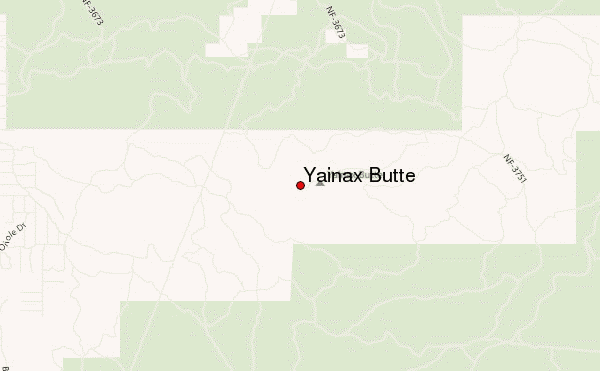
DRIVING TO THE TRAIL HEAD: I you are using a higher 4x4 vehicle you will be fine . A low profile vehicle may or may not scrape on rocks on this rough road. There are some moderate pot holes on this road. Using my Honda CRV , i had to navigate around some sections of the road and detour around some nasty road sections. From Klamath Falls follow Rt 140 for about 25 miles. Turn right on KINGFISHER , follow it for 1.2 miles. Turn right on HUMMING and drive for .7 miles to PECAY st. Turn left on and cross a gate and follow this rough road for 9 miles to the trail head at a 5493 ft, The road makes a sharp right and there is parking on the left side.
HIKE: Head north on the trail/old road for .25 miles to a road intersection. Continue in the same directions on the rugged trail /washed out road for another 1 mile, to a right curve. Near the end of the curve, there is a marker on the left side. At the marker look to your north/west and you will see an opening that has traces of an old road . Bush wack on this trail for .2miles to where you cross an old abandoned road. Go across this road and follow the same bushwack for another .25 miles to where you will encounter the Yainax Butte highway. This road is impossible to miss even if you get of the trail. Turn left and hike the highway for 1.25 miles to the summit. At the summit you will have the best views in the county. I was able to see over 100 miles in all 360 deg. This Is the best view in town. Have fun be safe and enjoy your hike.
2022-06-11 |
Click here to read 1 more climbing note for Yainax Butte or submit your own
|
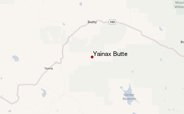
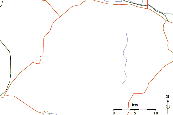
Select Yainax Butte Location Map Detail:
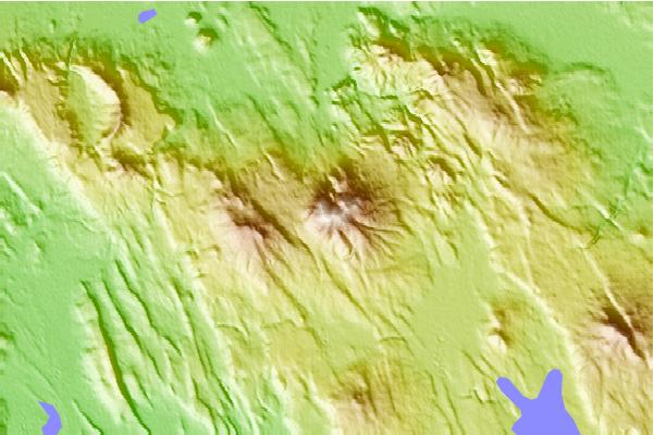
Use this relief map to navigate to mountain peaks in the area of Yainax Butte.
10 other mountain peaks closest to Yainax Butte:
 Yainax Butte – Climbing, Hiking & Mountaineering information
 Like us
 Follow us
