– Lat/Long: 53.12° N 4.05° W
 Y Garn (Glyderau) – Climbing, Hiking & Mountaineering information
Y Garn (Glyderau) – Climbing, Hiking & Mountaineering information
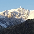
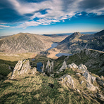
Y Garn (Glyderau) mountain guide
- Elevation: 947 m
- Difficulty: Walk up
- Best months to climb: May, June, July, August
- Convenient center: Llanberis, Bethesda
Y Garn (Glyderau) Climbing NotesBe the first to submit your climbing note! Please submit any useful information about climbing Y Garn (Glyderau) that may be useful to other climbers. Consider things such as access and accommodation at the base of Y Garn (Glyderau), as well as the logistics of climbing to the summit. |
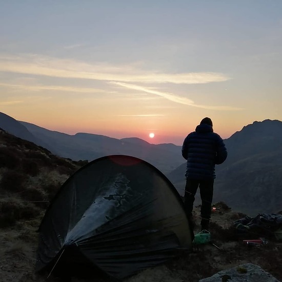
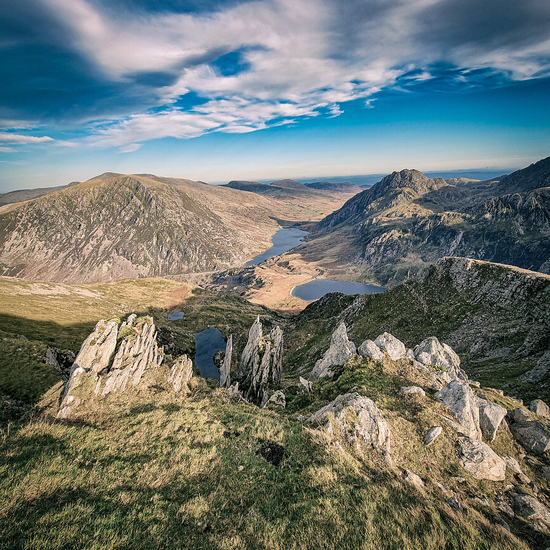
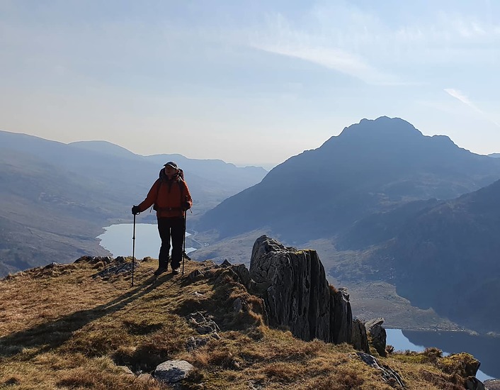
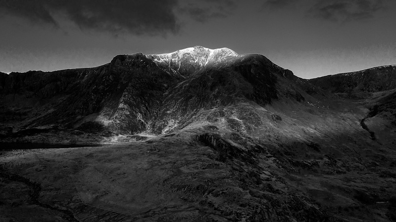
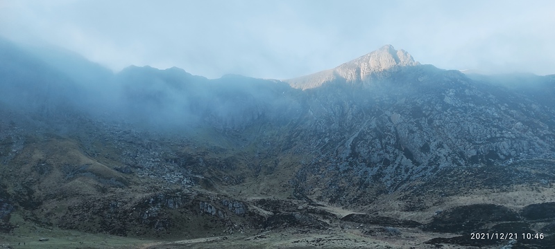
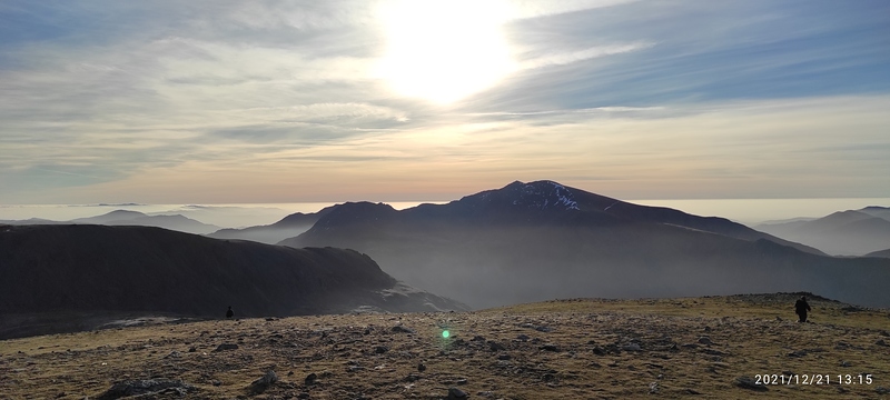
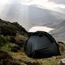
Latest Gallery Images for Y Garn (Glyderau)


| Select a
mountain summit from the menu |
||
|
Select a Mountain Summit
|
||
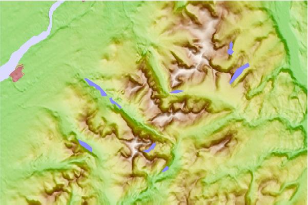
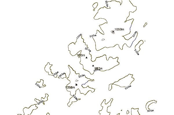
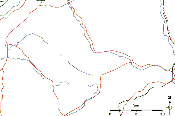
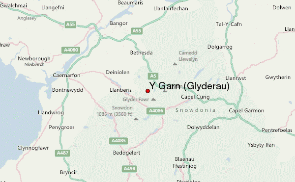
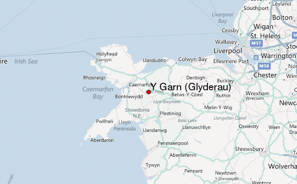
Use this relief map to navigate to mountain peaks in the area of Y Garn (Glyderau).
10 other mountain peaks closest to Y Garn (Glyderau):
| 1. | Glyder Fawr (999 m) | 1.9 km |
| 2. | Mynydd Perfedd (812 m) | 2.5 km |
| 3. | Elidir Fawr (924 m) | 2.6 km |
| 4. | Castell y Gwynt (972 m) | 2.7 km |
| 5. | Tryfan (915 m) | 3.3 km |
| 6. | Carnedd y Filiast (Glyderau) (821 m) | 3.4 km |
| 7. | Y Fronllwyd (721 m) | 3.4 km |
| 8. | Glyder Fach (990 m) | 3.5 km |
| 9. | Carnedd Dafydd (1044 m) | 3.7 km |
| 10. | Crib Goch (923 m) | 4.3 km |
 Like us
 Follow us
