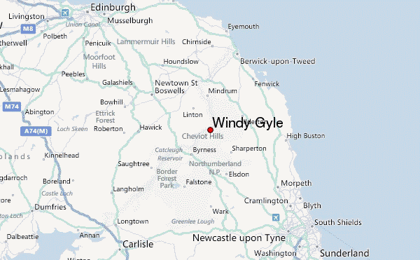
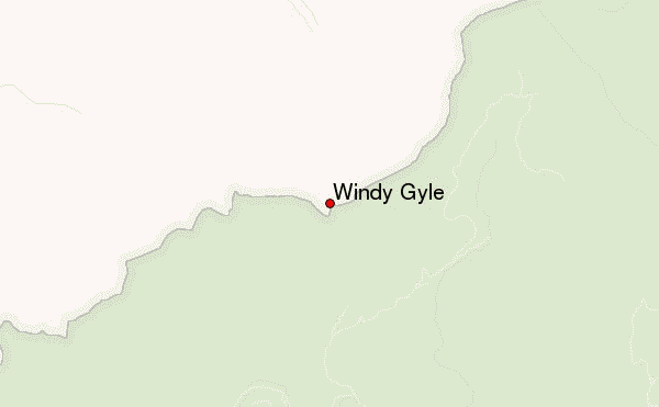
– Lat/Long: 55.43° N 2.23° W
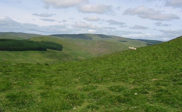
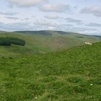
 Windy Gyle – Climbing, Hiking & Mountaineering information
Windy Gyle – Climbing, Hiking & Mountaineering information
Windy Gyle mountain guide
- Elevation: 619 m
- Difficulty:
- Best months to climb:
- Convenient center:
Windy Gyle Climbing Notes
|
| Select a
mountain summit from the menu |
||
|
Select a Mountain Summit
|
||
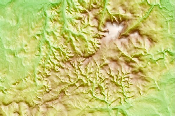
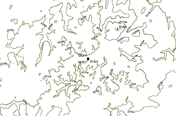
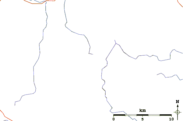
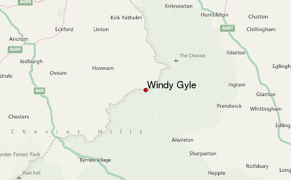
Use this relief map to navigate to mountain peaks in the area of Windy Gyle.
10 other mountain peaks closest to Windy Gyle:
| 1. | Shillhope Law (501 m) | 5.9 km |
| 2. | The Cheviot (815 m) | 8.5 km |
| 3. | Housedon Hill (266 m) | 18.1 km |
| 4. | Long Crag (319 m) | 22.3 km |
| 5. | Tosson Hill (440 m) | 22.7 km |
| 6. | Ros Hill (315 m) | 24.7 km |
| 7. | Eildon Hill (422 m) | 35.0 km |
| 8. | Maiden Paps, Hawick (510 m) | 37.7 km |
| 9. | Sighty Crag (518 m) | 42.7 km |
| 10. | Windlestraw Law (659 m) | 56.0 km |
 Like us
 Follow us
