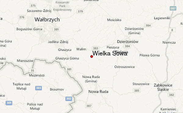
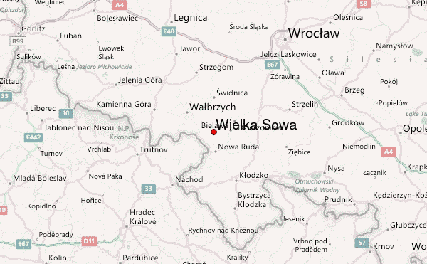
– Lat/Long: 50.68° N 16.49° E
 Wielka Sowa – Climbing, Hiking & Mountaineering information
Wielka Sowa – Climbing, Hiking & Mountaineering information
Wielka Sowa mountain guide
- Elevation: 1014 m
- Difficulty:
- Best months to climb:
- Convenient center:
Wielka Sowa Climbing NotesBe the first to submit your climbing note! Please submit any useful information about climbing Wielka Sowa that may be useful to other climbers. Consider things such as access and accommodation at the base of Wielka Sowa, as well as the logistics of climbing to the summit. |
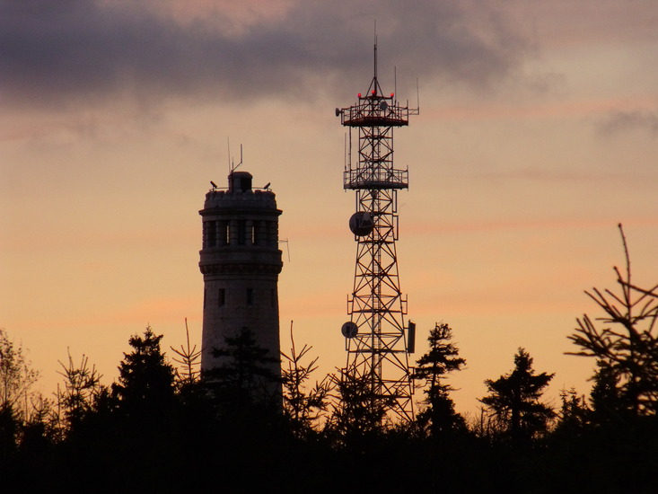
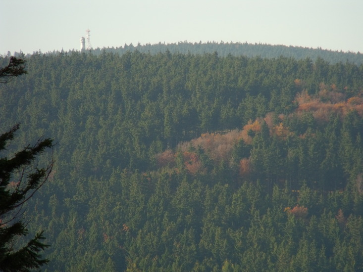
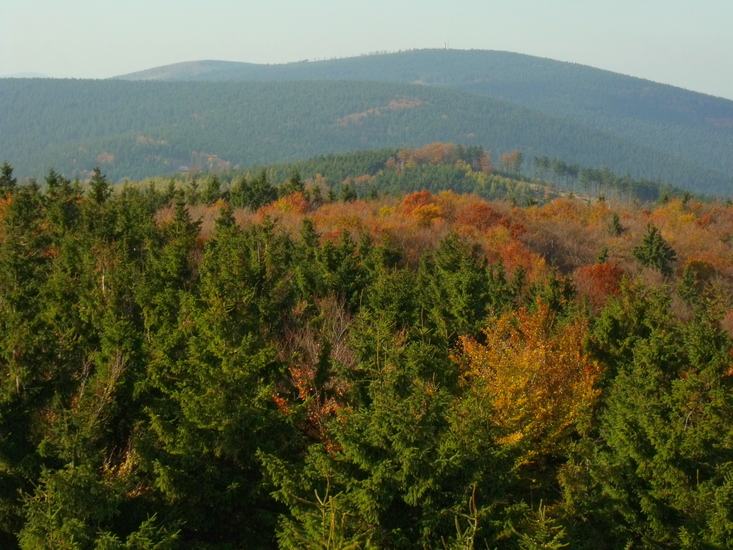
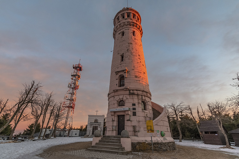
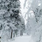
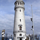
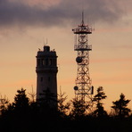
Latest Gallery Images for Wielka Sowa


| Select a
mountain summit from the menu |
||
|
Select a Mountain Summit
|
||
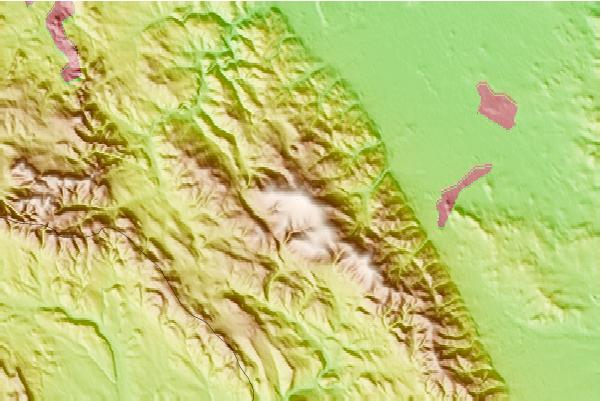
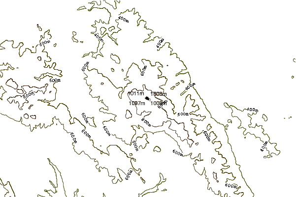
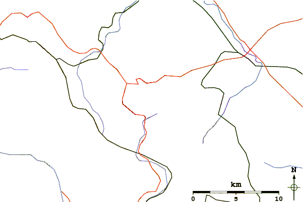
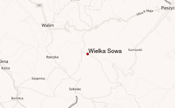
Use this relief map to navigate to mountain peaks in the area of Wielka Sowa.
10 other mountain peaks closest to Wielka Sowa:
| 1. | Kalenica (964 m) | 5.8 km |
| 2. | Radunia Mountain (573 m) | 22.0 km |
| 3. | Mount Ślęża (718 m) | 25.9 km |
| 4. | Velká Deštná (1115 m) | 42.1 km |
| 5. | Czarna Kopa (1407 m) | 51.1 km |
| 6. | Snezka or Sněžka (1602 m) | 53.0 km |
| 7. | Smogornia (1489 m) | 57.6 km |
| 8. | Snieznik (1426 m) | 58.4 km |
| 9. | Králický Sněžník (1424 m) | 58.5 km |
| 10. | Mały Szyszak (1436 m) | 59.8 km |
 Like us
 Follow us
