– Lat/Long: 52.33° N 120.57° W
 Wells Gray-Clearwater volcanic field – Climbing, Hiking & Mountaineering information
Wells Gray-Clearwater volcanic field – Climbing, Hiking & Mountaineering information
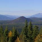
Wells Gray-Clearwater volcanic field mountain guide
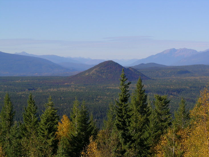
- Elevation: 2100 m
- Difficulty:
- Best months to climb:
- Convenient center:
Wells Gray-Clearwater volcanic field Climbing NotesBe the first to submit your climbing note! Please submit any useful information about climbing Wells Gray-Clearwater volcanic field that may be useful to other climbers. Consider things such as access and accommodation at the base of Wells Gray-Clearwater volcanic field, as well as the logistics of climbing to the summit. |
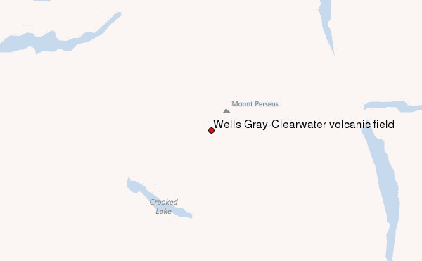
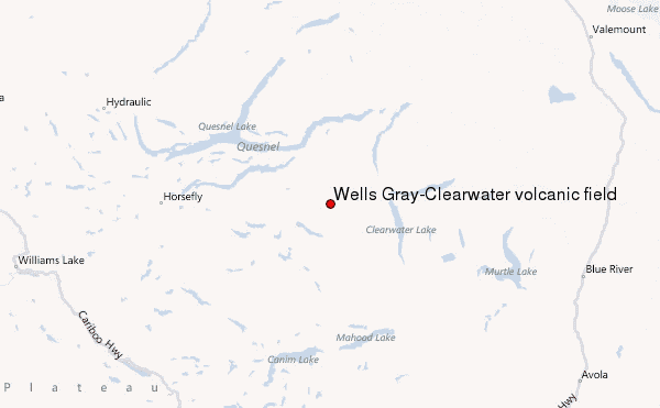
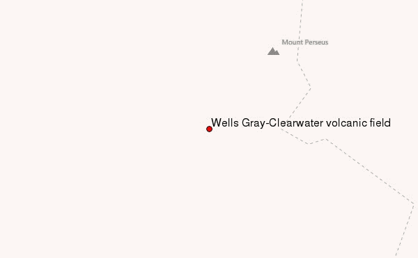
Select Wells Gray-Clearwater volcanic field Location Map Detail:
| Select a
mountain summit from the menu |
||
|
Select a Mountain Summit
|
||
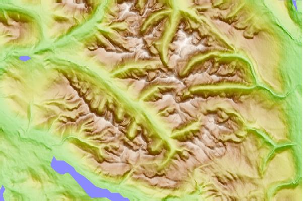
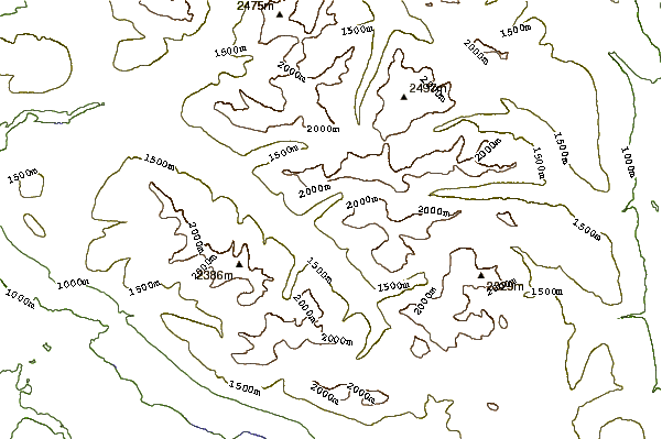
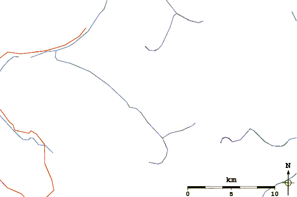
Use this relief map to navigate to mountain peaks in the area of Wells Gray-Clearwater volcanic field.
10 other mountain peaks closest to Wells Gray-Clearwater volcanic field:
| 1. | Wells Gray-clearwater (2015 m) | 0.0 km |
| 2. | Spanish Bonk (1770 m) | 13.0 km |
| 3. | Hyalo Ridge (2012 m) | 16.5 km |
| 4. | Spanish Mump (1800 m) | 25.0 km |
| 5. | Ray Mountain (2050 m) | 25.8 km |
| 6. | Flourmill Cone (1495 m) | 27.6 km |
| 7. | Garnet Peak (2860 m) | 28.3 km |
| 8. | Mount Hugh Neave (2829 m) | 30.6 km |
| 9. | Spanish Lake Centre (1770 m) | 33.9 km |
| 10. | Pointed Stick Cone (1820 m) | 34.8 km |
 Like us
 Follow us
