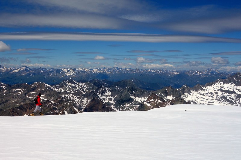
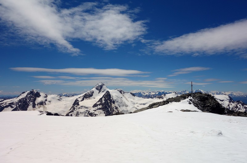
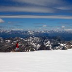
 Weißseespitze – Climbing, Hiking & Mountaineering information
Weißseespitze – Climbing, Hiking & Mountaineering information
Weißseespitze mountain guide
- Elevation: 3526 m
- Difficulty: Scramble
- Best months to climb: July, August
- Convenient center: Langtaufers, Kaunertal
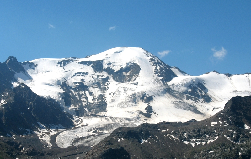
On Austrian side is a summer skiing resort on the Weissseeglacier. Here the summit can be reached through a basic snow/ice-climb. On Italian side the easiest way up is a scramble; and the route is marked. By car you can drive up to Melagalm(1913m), where you can spend the night, if you like. From here the summit can be reached in 6.5 hours. The Weissseespitze lies in between Glockturm (3353m), and Weisskugel (3738m).
Weißseespitze Climbing NotesBe the first to submit your climbing note! Please submit any useful information about climbing Weißseespitze that may be useful to other climbers. Consider things such as access and accommodation at the base of Weißseespitze, as well as the logistics of climbing to the summit. |
| Select a
mountain summit from the menu |
||
|
Select a Mountain Summit
|
||
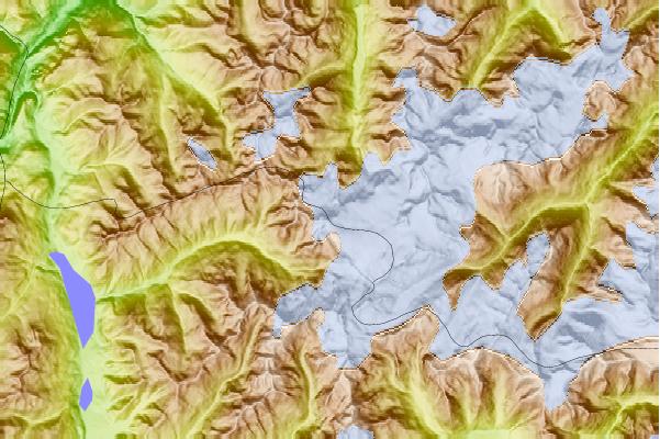
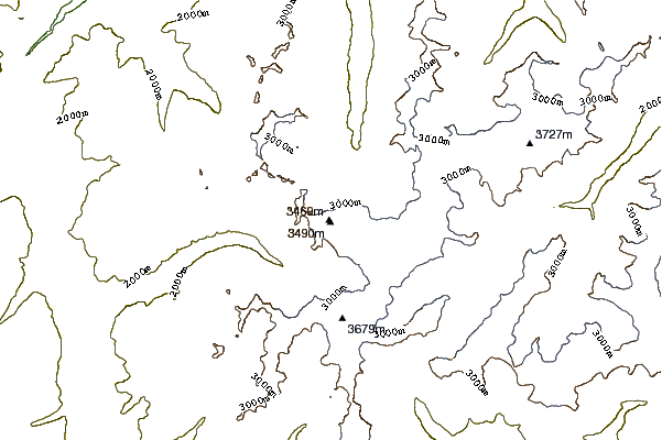
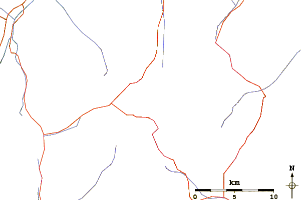
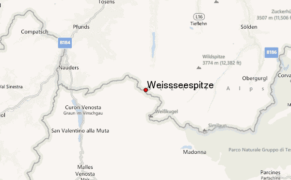
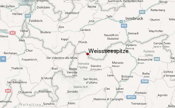
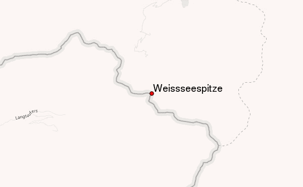
Use this relief map to navigate to mountain peaks in the area of Weißseespitze.
10 other mountain peaks closest to Weißseespitze:
| 1. | Hintereisspitzen (3486 m) | 4.5 km |
| 2. | Ehrichspitze (3420 m) | 4.5 km |
| 3. | Fluchtkogel (3500 m) | 5.0 km |
| 4. | Langtauferer Spitze (3529 m) | 5.2 km |
| 5. | Weisskugel (3739 m) | 5.4 km |
| 6. | Äußerer Bärenbartkogel (3473 m) | 5.7 km |
| 7. | Hintere Ölgrubenspitze (3296 m) | 6.6 km |
| 8. | Glockturm (3353 m) | 7.0 km |
| 9. | Hochvernagtspitze (3539 m) | 7.1 km |
| 10. | Nauderer Hennesiglspitze (3042 m) | 7.3 km |
 Like us
 Follow us
