– Lat/Long: 41.20° N 74.46° W
 Wawayanda Mountain – Climbing, Hiking & Mountaineering information
Wawayanda Mountain – Climbing, Hiking & Mountaineering information
Wawayanda Mountain mountain guide
- Elevation: 448 m
- Difficulty:
- Best months to climb:
- Convenient center:
Wawayanda Mountain Climbing NotesBe the first to submit your climbing note! Please submit any useful information about climbing Wawayanda Mountain that may be useful to other climbers. Consider things such as access and accommodation at the base of Wawayanda Mountain, as well as the logistics of climbing to the summit. |
| Select a
mountain summit from the menu |
||
|
Select a Mountain Summit
|
||
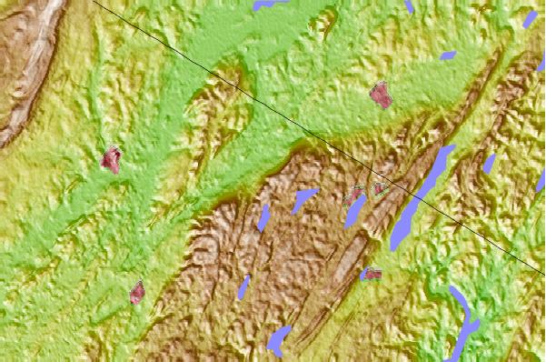
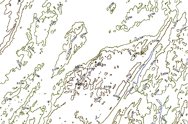
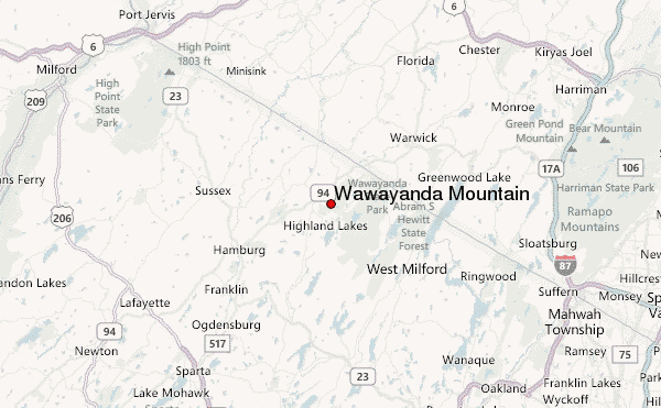
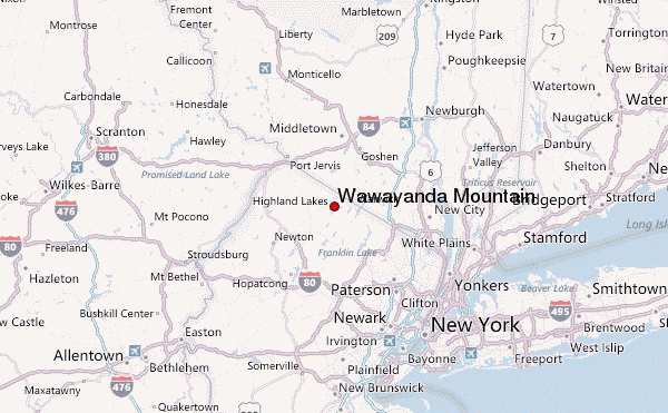
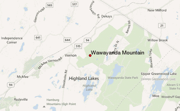
Use this relief map to navigate to mountain peaks in the area of Wawayanda Mountain.
10 other mountain peaks closest to Wawayanda Mountain:
| 1. | Pochuck Mountain (1194 m) | 6.0 km |
| 2. | Mount Peter (New York) (372 m) | 15.1 km |
| 3. | High Point (New Jersey) (550 m) | 21.7 km |
| 4. | Houvenkopf Mountain (284 m) | 26.1 km |
| 5. | Campgaw Mountain (752 m) | 27.2 km |
| 6. | Schunemunk Mountain (507 m) | 36.2 km |
| 7. | Bear Mountain (NY) (366 m) | 40.2 km |
| 8. | Popolopen (942 m) | 40.5 km |
| 9. | Dunderberg Mountain (331 m) | 41.0 km |
| 10. | Anthony's Nose (Westchester) (274 m) | 42.7 km |
 Like us
 Follow us
